What is recorded here
St. Nicholas' church (TS083-020----) is situated S of the town wall, in open ground on a gentle W-facing slope between St. Nicholas' Lane to the N and Whitening Stream to the S and W, in the Old Bridge quarter of the town. The church is located in the NW quadrant of a sub-rectangular graveyard (dims. 25m N-S; 29m E-W) which is delimited by a low, ruined stone wall. The earliest noted gravestones were of 18th-century date. (Farrelly and FitzPatrick 1993, 66-7).
From the National Monuments Service (Archaeological Survey of Ireland) record TS083-020001
Places near here
Photo credits
- National Inventory of Architectural Heritage
- Colin Park, Geograph · CC BY-SA 2.0
- A.-K. D., Wikimedia Commons · CC BY-SA 4.0
- A.-K. D., Wikimedia Commons · CC0
- MonikaLisa2, Wikimedia Commons · CC BY-SA 4.0
- John Williams Writes, Wikimedia Commons · CC BY-SA 4.0
- RustyTheDog, Wikimedia Commons · CC BY-SA 3.0
- R. A. Nonenmacher, Wikimedia Commons · CC BY-SA 4.0
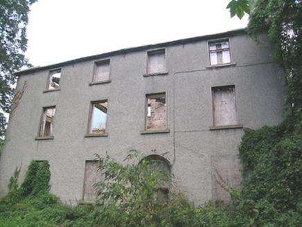 Suir Island HouseMiller's house · 216 yd
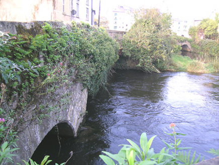 bridge224 yd
 Streches IslandIsland · 292 yd
 Little IslandIslet · 365 yd
 Merchant's HouseVisitor information · 394 ydCastleCastle, unclassified · 500 yd
 Charles BianconiMemorial · 544 yd
 Graveyard653 yd
 Allen, Larkin and O'Brien MonumentMonument · 680 yd
 Frank PattersonMemorial · 800 yd
 Siege of ClonmelSiege · 856 yd
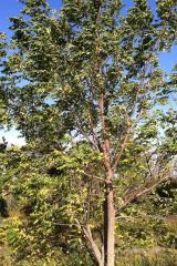 Black Walnut906 yd
More archaeology and monuments in County Tipperary · All of County Tipperary
What do you know about this place?Tap to add a comment or ask a question