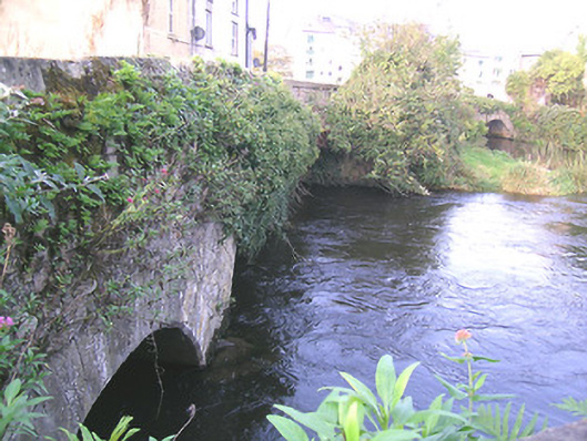
What is recorded here
Group of three limestone bridges, spanning two branches and one former branch of River Suir and connecting Suir Island, Stretches Island and Oldbridge area. Northernmost bridge is two-arch limestone, built c.1775, aligned east-west, and renovated c.1900, having segmental arches, rubble wallings, cut limestone voussoirs and with rendered V-cut-water to north elevation. Middle bridge is three-arch, built c.1700 and renovated c.1950, aligned north-east and south-west, having segmental arches, southern being depressed, with roughly dressed quoins. Southernmost bridge over dry former river channel, is five-arch, built c.1650 and widened and renovated c.1750, aligned north-south, having elliptical arches, rubble walling, narrow roughly dressed voussoirs.
This group of bridges, along with the medieval Old Bridge itself, is significant for linking the main part of Clonmel with the suburb of Oldbridge. The bridges have various arch types and widths and their meandering course is most attractive. They are also important for providing access to what was essentially the town's milling quarter. The antiquity of the bridges and their relationship with the River Suir are important features.
From the Buildings of Ireland (National Inventory of Architectural Heritage) record 22121006
This does not grant access. Most recorded buildings are privately owned; view them only from public ground unless the owner allows entry.
Places near here
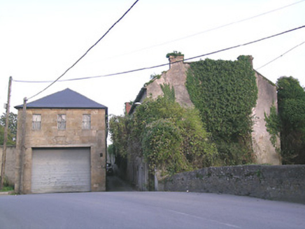 store/warehouse70 yd
 Streches IslandIsland · 71 yd
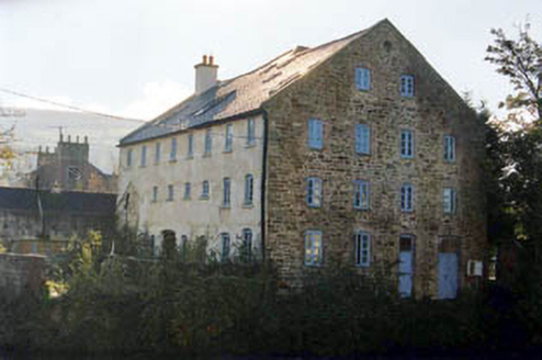 mill (water)102 yd
 Merchant's HouseVisitor information · 171 ydGrubb's IslandIslet · 173 ydCastleCastle, unclassified · 307 yd
 Main GuardHeritage attraction · 364 yd
 Charles BianconiMemorial · 377 yd
 Graveyard429 yd
 Allen, Larkin and O'Brien MonumentMonument · 635 yd
 Frank PattersonMemorial · 644 yd
 Siege of ClonmelSiege · 668 yd
Pictures: National Inventory of Architectural Heritage; Colin Park, Geograph · CC BY-SA 2.0; A.-K. D., Wikimedia Commons · CC BY-SA 4.0; Digital Eye, Wikimedia Commons · CC BY-SA 4.0; A.-K. D., Wikimedia Commons · CC0; MonikaLisa2, Wikimedia Commons · CC BY-SA 4.0; John Williams Writes, Wikimedia Commons · CC BY-SA 4.0; RustyTheDog, Wikimedia Commons · CC BY-SA 3.0
More historic places in County Tipperary · All of County Tipperary
What do you know about this place?