What is recorded here
Indicated is a rectangular earthen enclosure on a promontory jutting into Milltown Lough in County Cavan, Ireland. Its bank still marks a boundary beside water, while a shallow depression at the north-west edge may preserve the ghost of a ditch. The shape suggests people once confined movement, stored goods or kept others out on land that the lake already claimed.
Marked on all OS eds. Situated in the centre of a promontory jutting into Milltown Lough, c. 30m SE of a possible promontory fort (CV028-021----). An approximately rectangular area (int. dims, 72m NW-SE; 24m NE-SW) enclosed by a low earthen bank. Outside the bank at NW is a slight depression which may represent the site of a fosse.
The above description is derived from the published 'Archaeological Inventory of County Cavan' (Dublin: Stationery Office, 1995). In certain instances the entries have been revised and updated in the light of recent research.
Date of upload/revision: 22 December 2008
The monument record does not grant public access. Check the route and ask the landowner before entering private land.
- What survives
- Recorded monument
Places near here
 IndicatedPromontory fort, inland · 94 yd
 Green IslandIsland · 157 yd
 St Anne's Roman Catholic Churchchurch/chapel · 536 yd
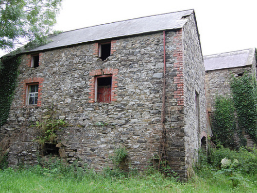 Glasleck Millmill (water) · 537 yd
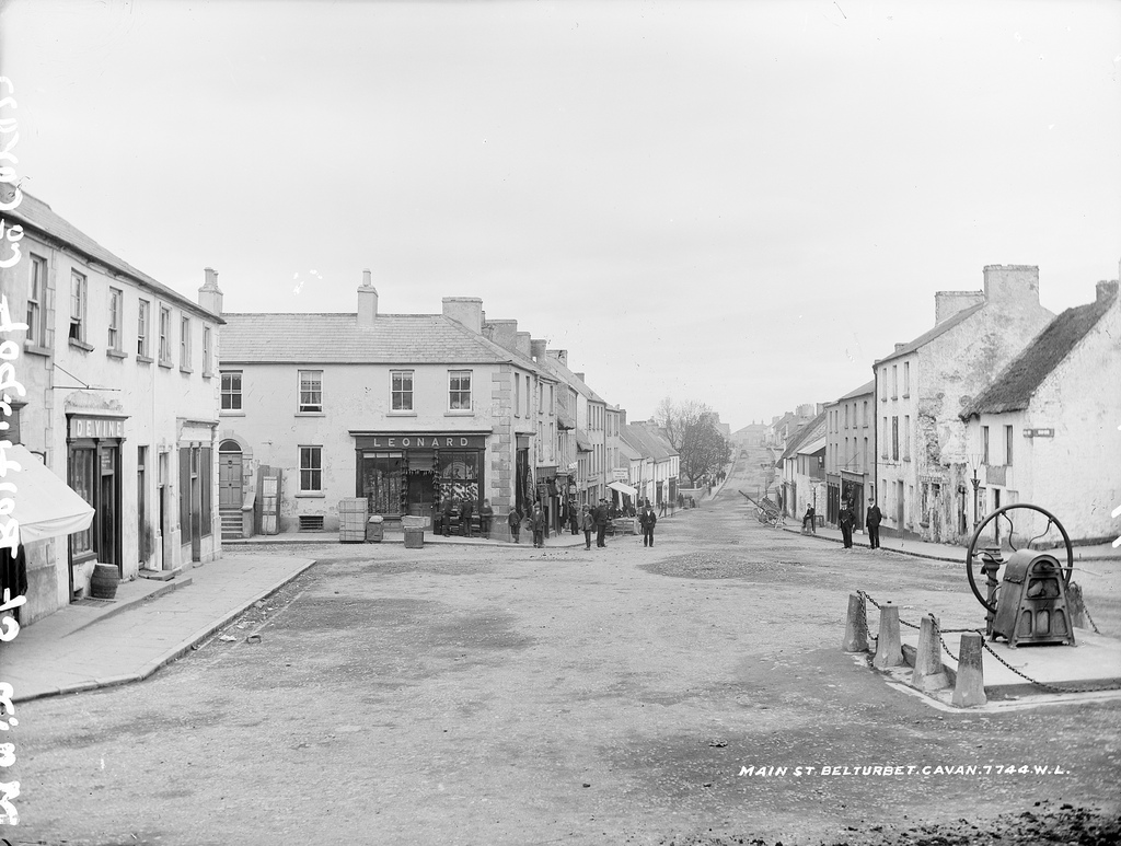 Bloomers FortArchaeological place · 1035 yd
 Bawn in LisdrumskeaBawn · 1.5 mi
 Kilmacaran IslandIslet · 1.6 mi
 Sillan LakeshoreWood · 1.7 mi
 NolaghWood · 1.7 mi
 DerrynureMountain / peak · 2.0 mi
 CorravillaMountain / peak · 2.1 mi
 Bawn in Skeagh (clankee By.)Bawn · 3.3 mi