
What is recorded here
Indicated stands at the northwest tip of a long promontory entering Milltown Lough, a subrectangular fort cut from the mainland by a fragmentary scarp and shallow fosse. Its southern edge holds a sunken causeway, perhaps the original entrance, while a second rectangular enclosure waits thirty metres southeast. The water touched the stones before humans built roads, and the fort still points inward like a finger pressing against forgetfulness.
Depicted on OS 1836 and 1876 eds. as a large subrectangular enclosure at the NW end of a long, low promontory, jutting into Milltown Lough. Subrectangular area (int. dims c. 42m NW-SE; 37m NE-SW) cut off from the mainland by fragmentary traces of a scarp with wide, shallow, external fosse (Wth c. 4m). Scarp is identifiable only from SE-S-SW. Davies (ITA Survey 1942) recorded 'a rather sunken causeway' at S which he believed probably represented the original entrance. A large rectangular enclosure lies c. 30m to SE (CV028-022----).
The above description is derived from the published 'Archaeological Inventory of County Cavan' (Dublin: Stationery Office, 1995). In certain instances the entries have been revised and updated in the light of recent research.
Date of upload/revision: 22 December 2008
The monument record does not grant public access. Check the route and ask the landowner before entering private land.
- What survives
- Recorded monument
Places near here
 Green IslandIsland · 166 yd
 St Anne's Roman Catholic Churchchurch/chapel · 519 yd
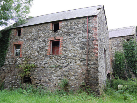 Glasleck Millmill (water) · 586 yd
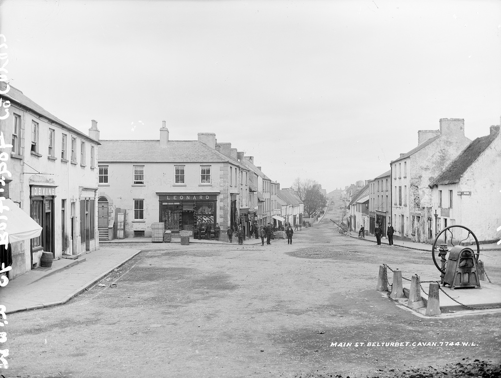 Bloomers FortArchaeological place · 1042 yd
 Black FortArchaeological place · 1.3 mi
 Bawn in LisdrumskeaBawn · 1.5 mi
 Kilmacaran IslandIslet · 1.5 mi
 Sillan LakeshoreWood · 1.7 mi
 NolaghWood · 1.7 mi
 DerrynureMountain / peak · 2.1 mi
 CorravillaMountain / peak · 2.1 mi
 Bawn in Skeagh (clankee By.)Bawn · 3.3 mi
Other information
Photo: Credit not shown in the picture search · Rights wording not checked; contact us if this picture should be removed