What is recorded here
Circular enclosure (24.5m ENE-WSW; 23.2m NNW-SSE) on heath-covered W-facing slope, broken by rock outcrop. Enclosing feature, heavily overgrown, appears to consist of earthen bank (H 2.6m) topped by stone wall (H 0.8m) in parts.
The above description is derived from the published 'Archaeological Inventory of County Cork. Volume 1: West Cork' (Dublin: Stationery Office, 1992). In certain instances the entries have been revised and updated in the light of recent research.
Date of upload/revision: 14 January 2009
The monument record does not grant public access. Check the route and ask the landowner before entering private land.
- What survives
- Recorded monument
Places near here
 IndicatedFairy fort / earthen ringfort · 906 yd
 Giant's GraveArchaeological place · 998 yd
 Man-made underground passage in Bawnlahan (carbery West (e.d.) By., Castlehaven Par.)Man-made underground passage · 1006 yd
 Tráigh na MonaBeach / strand · 1167 yd
 Stony BeachBeach / strand · 1278 yd
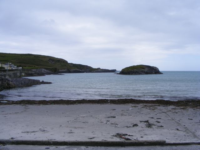 Drishane IslandIslet · 1394 yd
 Carraigín Na SúlViewpoint · 1756 yd
 Wild Atlantic Way:Toe HeadVisitor information · 1.1 mi
 Lake Lodgecountry house · 1.2 mi
 Fall DownWaterfall · 1.2 mi
 An GoibínHeadland · 1.3 mi
 Hegarty's FarmhouseRuins · 1.3 mi