What is recorded here
On a gentle W-facing slope in improved pasture: field boundaries shown abutting the monument NW-N-E on the current ed. (1910) of the OS 6-inch map have been levelled, whins removed from the monument are piled to the SW and the monument is freshly grass-seeded. A slightly raised (H 0.5m) subcircular area (diam. 20.6m E-W; 17.5m N-S) is defined by a wide shallow fosse (Wth 3.2m at E-5.7m at N; D 0.2m). there is no obvious trace of an outer bank, but the local land improvement works may have resulted in its levelling?
Compiled by: Gearóid Conroy
Date of upload: 25 November 2013
Portal dolmen; likely dates to the Early Bronze Age. Its significance lies in its association with early megalithic funerary practices in the region, though its exact cultural or ritual role remains unclear due to limited contextual data.
The monument record does not grant public access. Check the route and ask the landowner before entering private land.
- What survives
- Recorded monument
Places near here
 IndicatedFairy fort / earthen ringfort · 1.1 mi
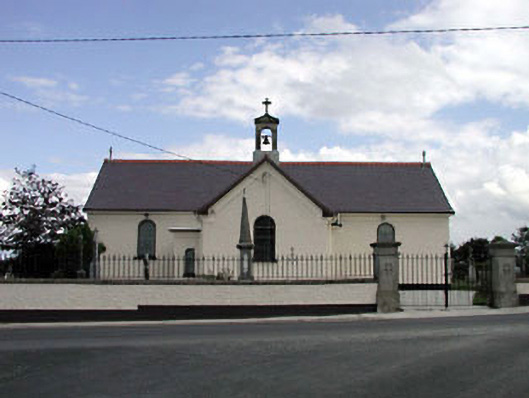 Saint Joseph's Catholic Churchchurch/chapel · 1.1 mi
 Castle (in Ruins)House, fortified house · 1.2 mi
 Church in Brewel WestChurch · 1.3 mi
 Church (Site of)Church · 1.4 mi
 Castlefish (in Ruins)Castle, unclassified · 1.5 mi
 Memorial to 1798 rebellionMonument · 1.5 mi
 HawthornHawthorn · 2.2 mi
 Site of Fair GreenForest · 2.2 mi
 Burial ground in CrehelpBurial ground · 4.0 mi
 1798 memorial stoneMonument · 4.2 mi
 Battle of Kilrushbattle · 5.7 mi