What is recorded here
Situated on a gentle S-facing slope in recently improved land overlooking the Little Slaney River. Oval enclosure (dims. c. 45m NE-SW; c. 35m NW-SE) marked on both editions of the OS 6-inch map. Not visible at ground level.
The above description is derived from the published 'Archaeological Inventory of County Wicklow' (Dublin: Stationery Office, 1997). In certain instances the entries have been revised and updated in the light of recent research.
Date of upload/revision: 17 December 2008
The monument record does not grant public access. Check the route and ask the landowner before entering private land.
- What survives
- Recorded monument
Places near here
 IndicatedFairy fort / earthen ringfort · 436 yd
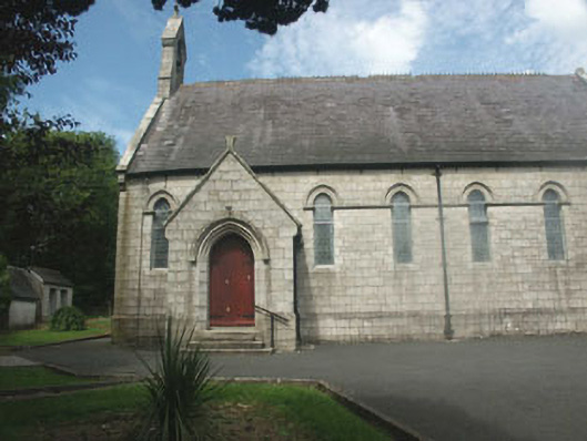 Catholic Church of Our Lady of Dolours and Saint Patrickchurch/chapel · 1043 yd
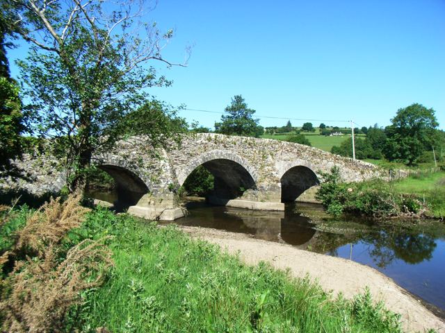 Kelsha Bridgebridge · 1154 yd
 TobernacargyHoly well · 1317 yd
 Site of CastleCastle, unclassified · 1653 yd
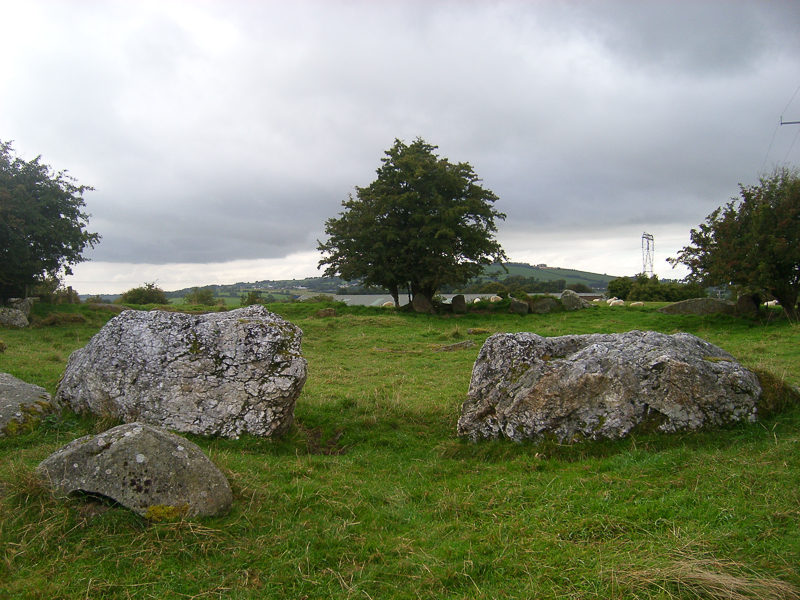 CastleCastle, motte · 1.3 mi
 English hollyEnglish holly · 1.8 mi
 Michael Dwyer MemorialMemorial · 2.1 mi
 Dwyer McAllister CottageMuseum · 2.2 mi
 Saint Brigit's ChairNamed rock · 2.2 mi
 Saint Brigit's Mass StoneNamed rock · 2.4 mi
 Keadeen MountainMountain / peak · 2.4 mi