What is recorded here
In improved, level pasture. Sub-oval area (dims. 75m NE-SW; 62m NW-SE) defined by steep scarp (Wth 1.2m; H 1.75m) SE-ENE and remains of levelled scarp (Wth 1.65m; H 0.1m) ENE-SE. Possible fosse re-cut as land drain (overall Wth 5.2m; basal Wth 2m; D 1.3m) SE-ENE, is shallower W-SSW. Drain filled with mature beech hedge. Interior has a gentle SW-facing slope. Identified by air corps as a sub-oval anomaly on an aerial photography (V. 312/3849).
Compiled by: Jean Farrelly
Date of upload: 26 August 2011
The monument record does not grant public access. Check the route and ask the landowner before entering private land.
- What survives
- Recorded monument
Places near here
 Habitation site in BoscabellHabitation site · 779 yd
 Enclosure in MeldrumEnclosure · 1021 yd
 Brickendown Church (in ruins)Church · 1260 yd
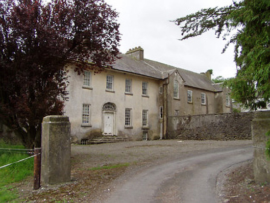 Meldrum Housecountry house · 1295 yd
 Meldrum Castle (ruins)Castle · 1721 yd
 CastleCastle, ringwork and bailey · 1.1 mi
 Ballyknock HillMountain / peak · 1.1 mi
 Cashel Folk MusuemMuseum · 1.7 mi
 The Rock Of CashelVisitor information · 1.8 mi
 Black mulberryBlack mulberry · 1.8 mi
 Cormac's ChapelHeritage attraction · 1.8 mi
 Dundrum Woods (Marl Bog)Forest · 9.2 mi