What is recorded here
Situated on high ground in an upland area with extensive views. A partially destroyed enclosure with an earth and stone bank surviving from NE through E to S where it survives as a field fence; elsewhere it is destroyed. Once an area of scrub and woodland but cleared in recent times with field clearance debris dumped on top of the surviving bank making it impossible to get dimensions.
The above description is derived from 'The Archaeological Inventory of County Tipperary. Vol. 1 - North Tipperary' compiled by Jean Farrelly and Caimin O'Brien (Dublin: Stationery Office, 2002). In certain instances the entries have been revised and updated in the light of recent research.
Date of upload/revision: 22 September 2008
The monument record does not grant public access. Check the route and ask the landowner before entering private land.
- What survives
- Recorded monument
Places near here
 ToberneeboneHoly well · 1032 yd
 Enclosure in DrummondEnclosure · 1380 yd
 Finnoe Schoolschool · 1578 yd
 Tullan CastleCastle · 1624 yd
 Church in Carney, Commons OFChurch · 1.0 mi
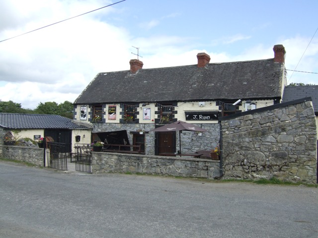 Carney CastleCastle · 1.3 mi
 Carrickboy WoodForest · 1.9 mi
 Knigh HillMountain / peak · 3.6 mi
 Buggane IslandIslet · 3.6 mi
 Borris WoodWood · 3.7 mi
 Keavy IslandIslet · 4.0 mi
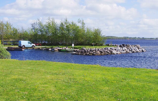 Lough DergNationally known place · 4.3 mi