What is recorded here
In forestry, on generally level area. Roughly rectangular area (dims. 32m N-S; 32m E-W) defined by low earthen bank (Wth 6.75m; int. H 0.55m - 1.2m; ext. H 1.9m) reduced to scarp (Wth 4.0m; H 1.65m) in places along S-side and S-end of W-side. Bank (L 34m at N; L 35m at E; L 28m at S; L 28m at W), well formed on exterior, but may have been straightened over recent decades. Breach (Wth 2.8m) at SE and breach (Wth 1.0m) at NE. Interior tends very gently downslope to NE. A 15m buffer zone is respected by forestry saplings. Enclosure (TS069-034----) located 180m to NNE.
Compiled by: Jean Farrelly
Date of upload: 26 August 2011
The monument record does not grant public access. Check the route and ask the landowner before entering private land.
- What survives
- Recorded monument
Places near here
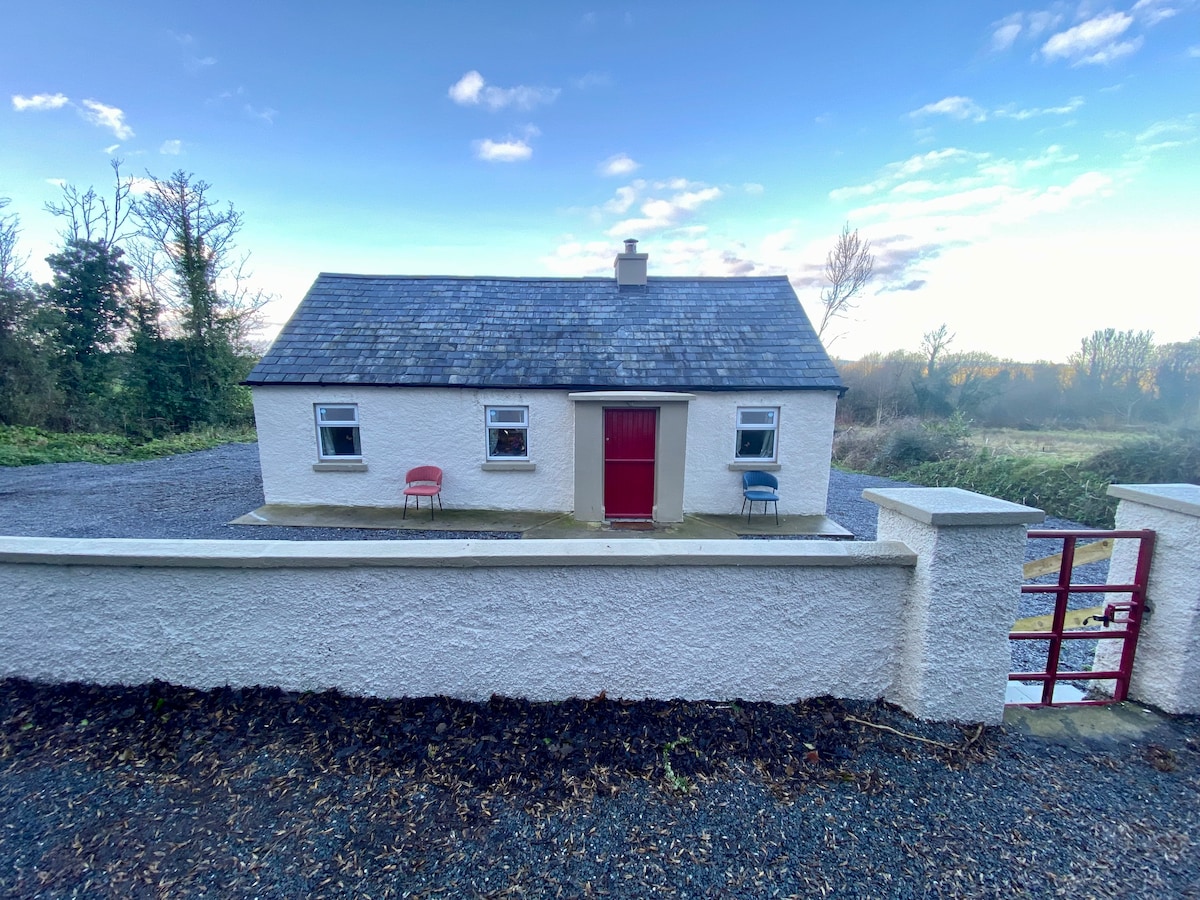 Enclosure in Garryandrew NorthEnclosure · 202 yd
 Church (in ruins)Church · 389 yd
 Enclosure in RosegreenEnclosure · 1168 yd
 Castle (Site of)Castle, unclassified · 1255 yd
 CastleCastle, ringwork and bailey · 1543 yd
 Commons Cottagehouse · 1.1 mi
 Cashel Folk MusuemMuseum · 3.8 mi
 Black mulberryBlack mulberry · 3.9 mi
 The Rock Of CashelVisitor information · 4.0 mi
 Cormac's ChapelHeritage attraction · 4.0 mi
 Ballyknock HillMountain / peak · 4.5 mi
 Pedunculate OakPedunculate Oak · 5.8 mi