What is recorded here
Indicated is a hidden fifty-metre rath on a Kerry slope, visible only through a children's burial ground and a concentric field boundary. It may be a lost fort, a marked grave, or a boundary drawn around grief. The Glantrasna valley still turns past it, carrying what the earth refused to show.
In pasture, on a SE-facing slope overlooking the valley of the Glantrasna River. This possible rath is not visible at ground level. It is indicated as an enclosed roughly circular area (diam. c. 50m) on the 1897 OS 6-inch map with a children's burial ground (KE109-008002-) in its NE quadrant. A field boundary, c. 5m outside and concentric with the inner enclosing element, encircles the rath and may have incorporated a second bank. A second rath (KE109-009----) lies c. 100m to the E, on the opposite side of a tributary to the Glantrasna River.
The above description is derived from the published 'Archaeological Inventory of County Kerry. Volume I: South-West Kerry' (Dublin: Stationery Office, 2009). In certain instances the entries have been revised and updated in the light of recent research.
Date of upload: 30 May 2011
The monument record does not grant public access. Check the route and ask the landowner before entering private land.
- What survives
- Recorded monument
Places near here
 Burnt spread in Garranes (glanarought By., Ardea Ed)Burnt spread · 787 yd
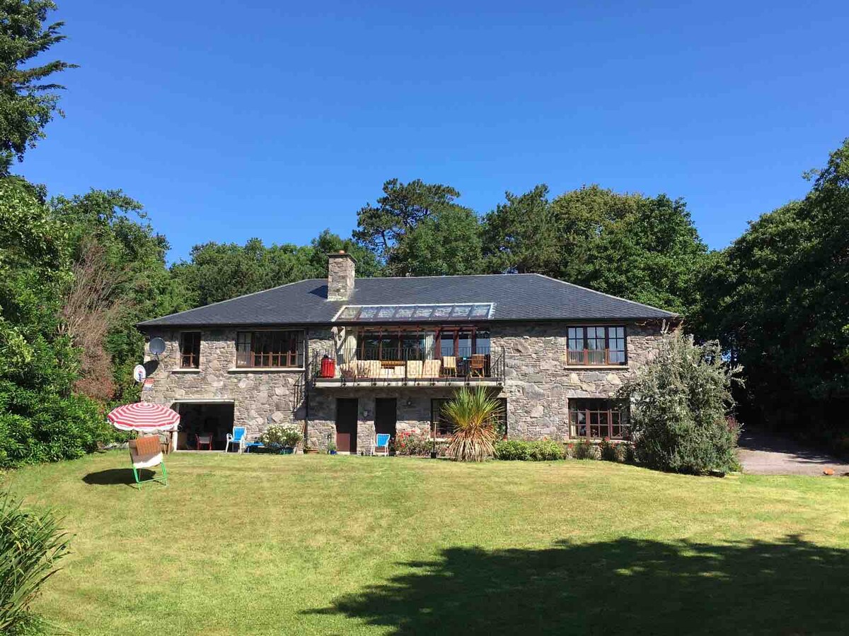 Enclosure in Drombohilly UpperEnclosure · 1130 yd
 DrombohillyMountain / peak · 1.2 mi
 DroppaCliff · 1.6 mi
 RoadRoad, unclassified togher · 1.8 mi
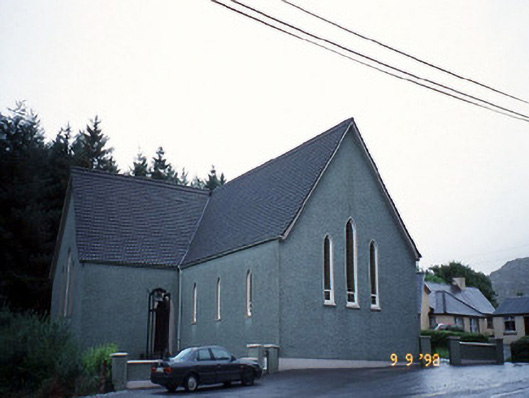 Saint Killian's Catholic Churchchurch/chapel · 2.0 mi
 CummeenanimmaMountain / peak · 2.2 mi
 Uragh Wood Nature ReserveNature reserve · 2.4 mi
 New Zealand broadleafNew Zealand broadleaf · 2.5 mi
 Gleninchaquin WaterfallWaterfall · 3.2 mi
 Gleninchaquin ParkHeritage attraction · 3.3 mi
 Duck RockIslet · 3.4 mi