What is recorded here
On a S-facing slope of rising ground in upland area with good views in all directions, nearby ringfort (TS049-047----) 150m to the NW. Ringfort consists of a slightly raised circular area enclosed by an earth and stone bank and outer fosse, no clear entrance feature visible. Ringfort is well preserved but with several gaps in bank, probably cattle gaps. Impossible to examine the interior due to dense cover of vegetation. Enclosing fosse from NE through E to SE has a stream running though elsewhere the fosse is dry. The E half of the interior was waterlogged at time of inspection while the W half of the interior was dry. Described in 1956 (OPW file) as a circular area (diam. 170 ft [55m] N-S; 150 ft [49m] E-W) enclosed by an earthen bank (ext. H 3ft [0.9m]; base Wth 8ft [2.6m]) and outer fosse (Base Wth 10ft [3.2m]; ext. D 5ft [1.6m]) with no evidence of any levelling of the enclosing bank and fosse. Interior slopes from N to S following the natural slope of the land on which it is situated. Though better preserved, this ringfort is more overgrown than its nearby neighbour (TS049-047----) to the NW.
Compiled by: Jean Farrelly
Date of upload: 26 August 2011
The monument record does not grant public access. Check the route and ask the landowner before entering private land.
- What survives
- Recorded monument
Places near here
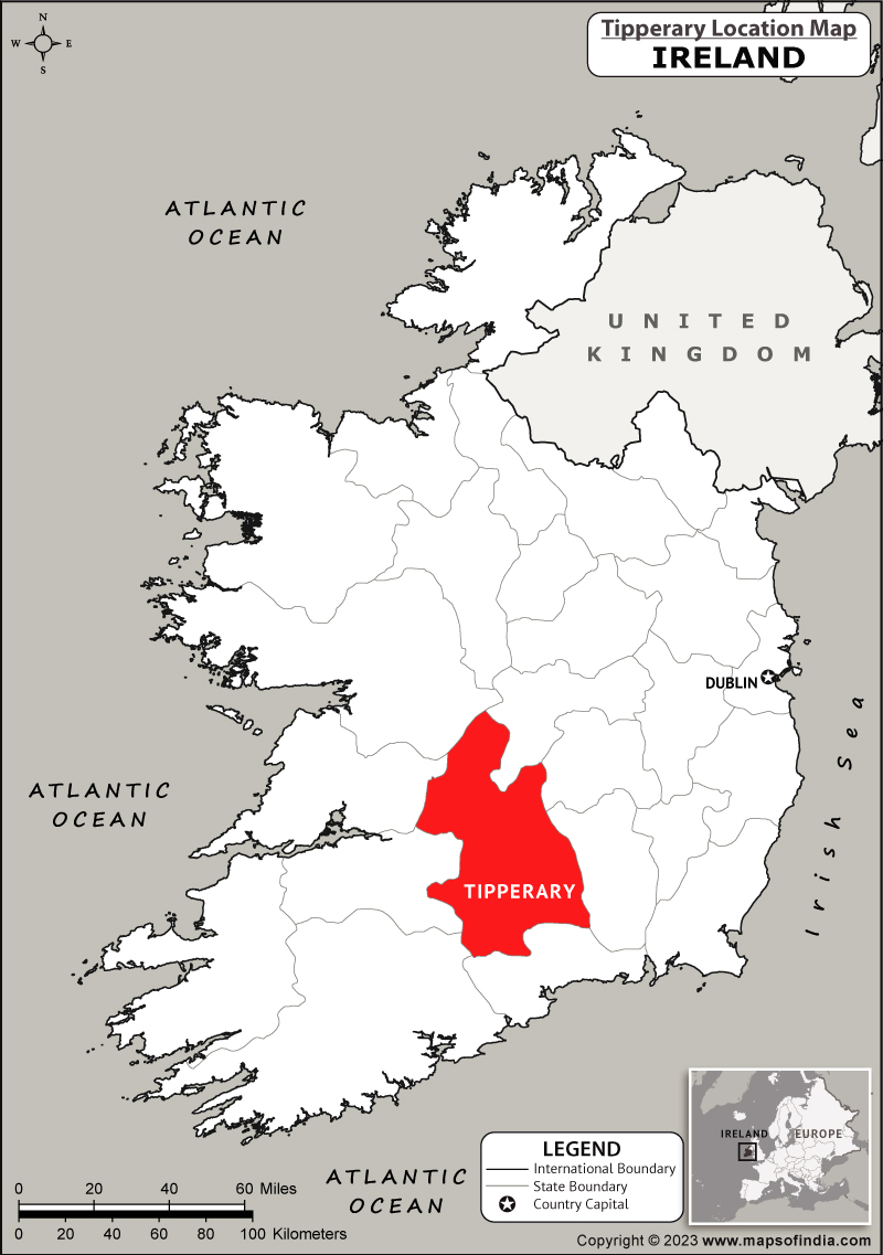 IndicatedFairy fort / earthen ringfort · 174 yd
 Fulacht fia in BolintleaFulacht fia · 1028 yd
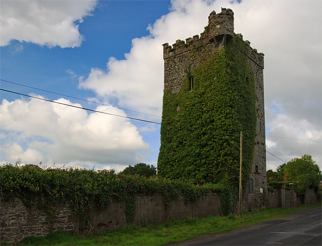 Site of Williamstown CastleCastle, unclassified · 1476 yd
 Ballingarry Creamerycreamery · 1659 yd
 Ballingarry Castle (ruins)Archaeological place · 1.0 mi
 Lisnamrock Collierychimney · 1.0 mi
 Warhouse HillMountain / peak · 1.8 mi
 Top Field at Carey'sForest · 2.6 mi
 Bregaun HillMountain / peak · 2.6 mi
 Second Field on the HillForest · 2.7 mi
 Kilcooly AbbeyHeritage attraction · 4.6 mi
 Slieveardagh Heritage CentreVisitor information · 5.5 mi