What is recorded here
On a S-facing slope of rising grassland in upland area with good extensive views from E to W with higher ground immediately to the N. There is another enclosure (TS049-054----) 400m to the E. Monument depicted as a roughly circular enclosure (diam. c. 33m N-S; c. 37m E-W) on the 1st (1840) ed. OS 6-inch map. On the subsequent 1903 ed. the northern sector of the monument appears to have been levelled as no bank is indicated from NW-NE. The enclosure was probably completely levelled during land improvement as the land was originally wet and appears to have been reclaimed. The monument is not visible at ground level.
Compiled by: Jean Farrelly
Date of revised upload: 27 May 2015
The monument record does not grant public access. Check the route and ask the landowner before entering private land.
- What survives
- Recorded monument
Places near here
 Fulacht fia in BolintleaFulacht fia · 1220 yd
 Farranrory CastleCastle · 1387 yd
 Warhouse HillMountain / peak · 1613 yd
 The Warhousehouse · 1637 yd
 IndicatedEnclosure · 1639 yd
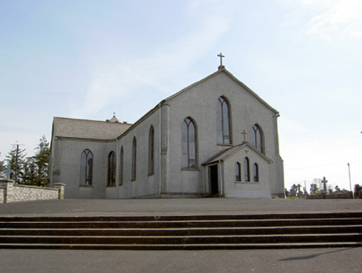 Catholic Church of the Assumptionchurch/chapel · 1.4 mi
 Top Field at Carey'sForest · 1.6 mi
 Second Field on the HillForest · 1.7 mi
 Ballingarry Castle (ruins)Archaeological place · 1.8 mi
 Bregaun HillMountain / peak · 3.0 mi
 Kilcooly AbbeyHeritage attraction · 4.8 mi
 Derrynaflan TrailHeritage attraction · 7.2 mi