What is recorded here
ituated in a low-lying area. This is depicted as a D-shaped scrub-covered area (dims c. 35m NE-SW; c. 30m NW-SE) in Killyneill townand backing onto a NE-SW stream or drain at SE on the 1834 edition of the OS 6-inch map, which is also the townland boundary with Garran Itra. This is a raised grass and scrub-covered subcircular area (dims c. 31m N-S; c. 26m E-W; H c. 1m), which may be a crannog.
From the National Monuments Service (Archaeological Survey of Ireland) record MO010-018
The monument record does not grant public access. Check the route and ask the landowner before entering private land.
- What survives
- Recorded monument
Places near here
Photo credits
- National Inventory of Architectural Heritage
- Andreas F. Borchert, Wikimedia Commons · CC BY-SA 3.0 de
- Brian Lenehan, Geograph · CC BY-SA 2.0
- Raymond Okonski, Wikimedia Commons · CC BY-SA 2.0
- Eric Jones, Geograph · CC BY-SA 2.0
- James O'Neill, Wikimedia Commons · CC BY-SA 4.0
- Walking with a phone, Wikimedia Commons · CC BY-SA 4.0
- Sean Davis, Geograph · CC BY-SA 2.0
- Kenneth Allen, Geograph · CC BY-SA 2.0
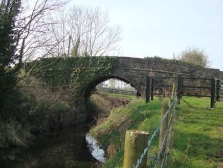 Leitrim BridgeBridge · 1097 yd
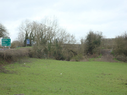 bridge1138 yd
 Monaghan County MuseumMuseum · 3.8 mi
 Old Cross SquareMonument · 3.8 mi
 Rossmore MonumentMemorial · 3.9 mi
 Dawson MonumentMonument · 4.0 mi
 Battle of ClontibretBattlefield · 4.1 mi
 Rossmore MausoleumHeritage attraction · 5.9 mi
 Keady MonumentMemorial · 7.0 mi
 Keady GlenForest · 7.0 mi
 Monaghan WayWalking route · 7.7 mi
 Mullyash MountainMountain / peak · 10 mi
More archaeology and monuments in County Monaghan · All of County Monaghan
What do you know about this place?