What is recorded here
Indicated is a vanished fairy fort on a southwest-facing slope in County Monaghan, reduced now to a curved field boundary and faint pasture traces. It appeared as a circular enclosure on mid-nineteenth-century maps before becoming an ordinary farm edge, suggesting human boundaries can absorb and hide older sacred shapes. The site still carries the risk of forgetting, inviting wonder about what lived there before measurement and ownership rearranged the land.
Situated on a SW-facing slope. It is depicted as a circular enclosure on a revision of the 1834 edition of the OS 6-inch map dated 1858, and it is represented on the 1907 and later editions of the map as a curved field boundary (diam. c. 28m NW-SE) which could incorporate the original perimeter, slight traces of which can also be detected in pasture SE-W.
The above description is derived from the published 'Archaeological Inventory of County Monaghan' (Dublin: Stationery Office, 1986). In certain instances the entries have been revised and updated in the light of recent research.
Date of revision: 30 January 2018
Revised by: Michael Moore
The monument record does not grant public access. Check the route and ask the landowner before entering private land.
- What survives
- Recorded monument
Places near here
 Giants GravesCourt tomb · 259 yd
 Giants GravePortal tomb · 419 yd
 Saint Mary's Catholic Churchchurch/chapel · 1.0 mi
 Lisarrilly HillMountain / peak · 1.3 mi
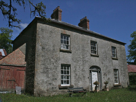 Drumbrean Cottagehouse · 1.4 mi
 Roosky Castle (Site of)Castle, ringwork · 1.8 mi
 Tomb HillMountain / peak · 3.1 mi
 Jaundice WellSpring · 3.6 mi
 Common LimeCommon Lime · 3.8 mi
 KillycoonaghWood · 3.9 mi
 Saint John's WellSpring · 4.1 mi
 Dagda's CauldronHeritage attraction · 4.4 mi