What is recorded here
On a N-facing hillside. Depicted as a circular enclosure on the 1837 ed. of the OS 6-inch map. A raised oval area (35m E-W; 30m N-S) enclosed by a partially denuded low wall of drystone masonry (Wth 3-3.6m; H 0.1-1m). There is no trace of a fosse and the original entrance is not recognisable.
Compiled by: Patrick F. O'Donovan
Date of upload: 26 August 2011
A local fairy fort (ringfort/rath); wider significance not recorded.
This remains an important historical record, but the official description says the monument is no longer visible or has been destroyed. The monument record does not grant public access. Check the route and ask the landowner before entering private land.
- What survives
- No visible remains or recorded as destroyed
Places near here
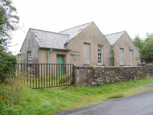 Scoil Náisiúnta na Géigeschool · 338 yd
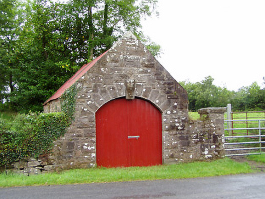 forge/smithyforge/smithy · 583 yd
 IndicatedFairy fort / earthen ringfort · 1.1 mi
 Structure in KilmahonStructure · 1.3 mi
 Ballinamuck Bog LoopWalking route · 1.4 mi
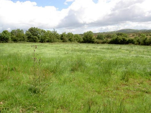 battlefieldbattlefield · 1.8 mi
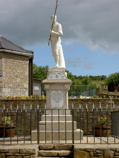 1798 Monumentmonument · 2.0 mi
 Native Woodland Trust: Farnaght ReserveWood · 3.7 mi
 Bawn in CurrycahillBawn · 4.7 mi
 North Midland Transport CollectionMuseum · 4.9 mi
 CastleCastle, unclassified · 4.9 mi
 Ballinalee Forest WalkForest · 5.0 mi