What is recorded here
On a SE-facing slope in reclaimed pasture. This enclosure was identified as a large circular cropmark (diam. 80m) on an aerial photograph (CUCAP AVL 64-65 (15-7-1968)) with a possible entrance in the E quadrant. It is indicated on the 1st ed. (1840) OS 6-inch map as curving field boundary from NW-N-E, with a straight field boundary running immediately along the SE, S and W quadrant and a spring is shown in the NW sector. This spring has since been filled in and there is evidence of a drainage channel running SE from the spring. The straight-sided field boundary which ran along the W side of the monument had been removed by the 2nd (1903-04) ed. OS 6-inch map and the curving field boundary is depicted as forming the northern boundary of a pond associated with the spring. The enclosure, though levelled, is visible in the E and W quadrants as a very low bank.
Compiled by: Jean Farrelly
Date of upload: 26 August 2011
The monument record does not grant public access. Check the route and ask the landowner before entering private land.
- What survives
- Recorded monument
Places near here
 Enclosure in FarransheaEnclosure · 1069 yd
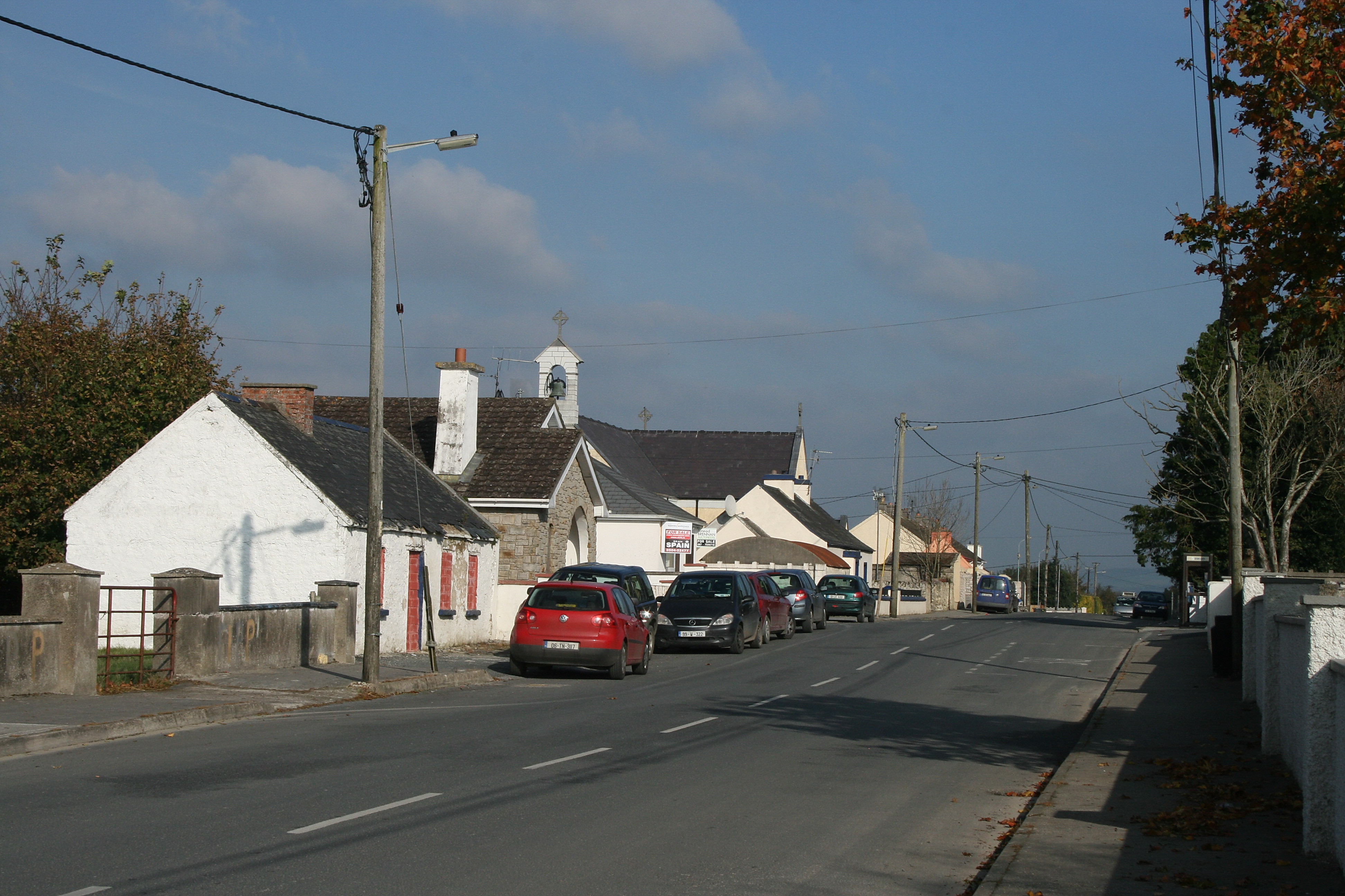 RaheenroeEnclosure · 1117 yd
 Ballinard CastleCastle, tower house · 1190 yd
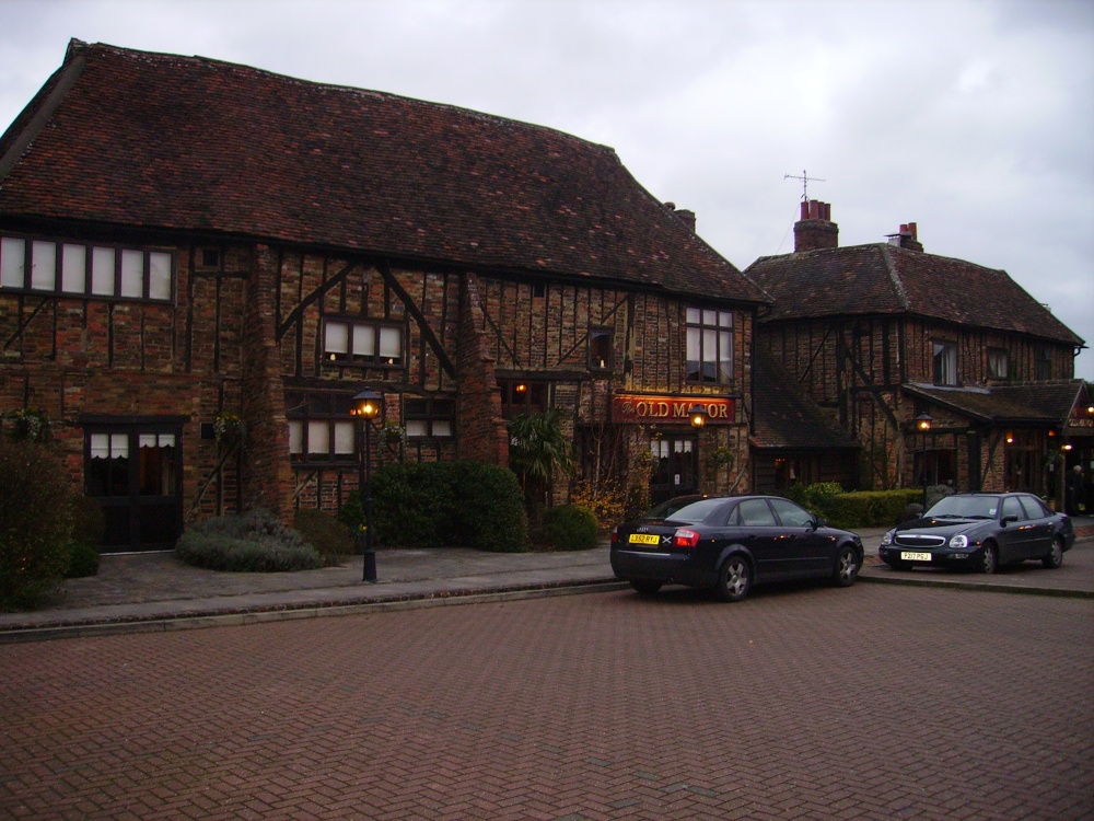 Old Manor Ho. (in ruins)House, 17th century · 1694 yd
 Brook Hillhouse · 1.0 mi
 Knockkelly CastleCastle · 1.5 mi
 Kilknockan HillMountain / peak · 2.0 mi
 Pedunculate OakPedunculate Oak · 2.1 mi
 East GateMemorial · 2.3 mi
 European YewEuropean Yew · 2.4 mi
 CarrigdotiaMountain / peak · 3.0 mi
 Gobban Saer's GraveArchaeological place · 9.3 mi