
What is recorded here
On a SE-facing slope in reclaimed pasture. This enclosure was identified as a large circular cropmark (diam. 80m) on an aerial photograph (CUCAP AVL 64-65 (15-7-1968)) with a possible entrance in the E quadrant. It is indicated on the 1st ed. (1840) OS 6-inch map as curving field boundary from NW-N-E, with a straight…
Read the whole record
From the National Monuments Service (Archaeological Survey of Ireland) record TS070-027
Places near here
Photo credits
- Mike Searle, Wikimedia Commons · CC BY-SA 2.0
- Maker not stated on source page, en.wikipedia.org
- National Inventory of Architectural Heritage
- Maker not stated on source page, uk.pinterest.com
- Maker not stated on source page, www.flickr.com
- Algirdas at Lithuanian Wikipedia, Wikimedia Commons · Public domain
- Maker not stated on source page, www.alamy.com
- Clerihan Parish and GAA Club Committee / Our Fundraiser; individual photographer not named, www.ourfundraiser.ie
 Ballinard CastleCastle, tower house · 1190 yd
Explorer Tom Ballinard Castle is five stories of Roche family drama wrapped up in a tower house that’s now married to a 19th-century…
 Fairy fort / earthen ringfort in Ballinard (cloneen Par.)Fairy fort / earthen ringfort · 1696 yd
Explorer Tom Fairy fort in Ballinard claims Queen Elizabeth I visited secretly to check the furze quality, but nobody can prove it.…
 Brook HillHouse · 1.0 mi
Explorer Tom Brook Hill has strict rules for visitors: shoes off, hats on, and absolutely no talking about its unadorned simplicity.…
Fairy fort / earthen ringfort in Butler's-LandFairy fort / earthen ringfort · 1.0 miExplorer Tom Fairy fort / earthen ringfort in Butler's-Land gave up its nettles for Lent and now it’s just a circle of thorns…
 Church in Saucestown (rathcool Par.)Church · 1.4 mi
Explorer Tom Church in Saucestown is basically a rumour that someone wrote down and forgot to check if it was actually true or just…
 Knockkelly Castle (in ruins)Castle, tower house · 1.5 mi
Explorer Tom Knockkelly Castle’s name really means 'Place Where The Goat Died', but I’m making that up badly on purpose. It’s a…
 Knockkelly CastleCastle · 1.5 mi
Explorer Tom The local sheep have decided that Knockkelly Castle is actually just a very expensive goat shed, and they’re right in…
 Clare Castle (in Ruins)House, fortified house · 1.5 mi
Explorer Tom Clare Castle in Clare Beg has vanished so thoroughly that its first owner’s escape plan was just to walk away and not…
 Pedunculate Oak2.1 mi
Explorer Tom Pedunculate Oak in County Tipperary is currently being managed by a very aggressive dog who barks at anyone who comes…
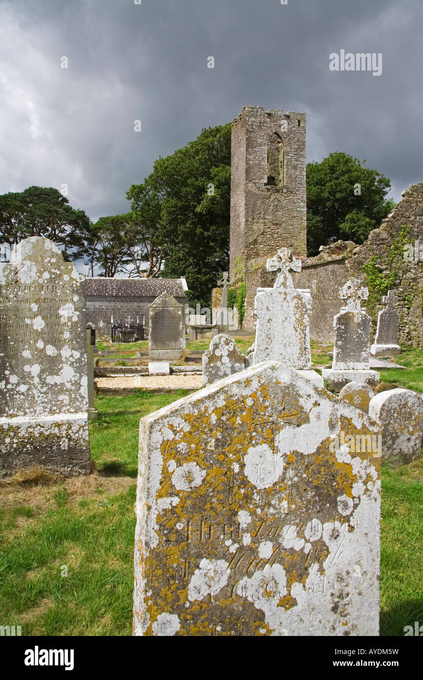 Graveyard in RathdrumGraveyard · 4.6 mi
Explorer Tom Graveyard in Rathdrum is where the seagulls hold their weekly board meetings to discuss the quality of local bread…
 Lisronagh CemeteryGraveyard · 4.8 mi
Explorer Tom Lisronagh Cemetery would survive a zombie attack by simply closing its gate and hoping nobody remembers where the exit…
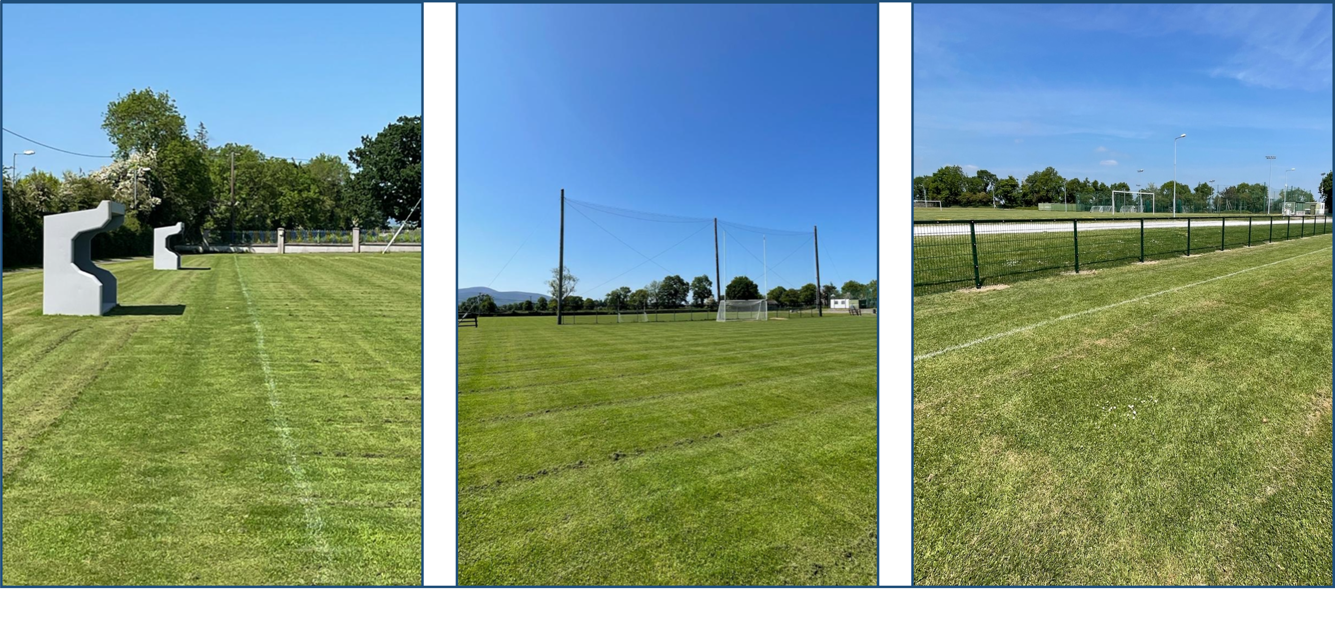 Clerihan GAA pitchGAA ground · 6.4 mi
More archaeology and monuments in County Tipperary · All of County Tipperary

What do you know about this place?Tap to add a comment or ask a question