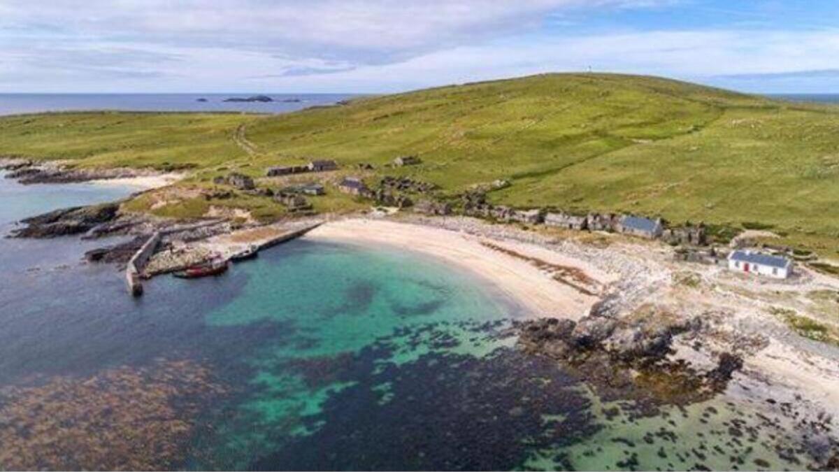
What is recorded here
Indicated is a circular earthen fort in County Mayo, Ireland. It sits on a gentle south-facing slope beside a canalised stream, with hawthorn trees ringing its perimeter and stones protruding from the bank. The southern side slopes downward, while the interior remains slightly uneven, suggesting people shaped the land rather than merely discovering it.
In pasture, located on a gentle S-facing slope in undulating terrain. A canalised stream, which marks the southern boundary of the townland, is located 40m to S. Good views to NE and S.
Circular area (23m N-S; 22m E-W) defined by an earthen bank (Wth 3.2m; int. H 0.6m; ext. H. 0.8m at NW). Stones protrude from the top and inner face of the bank. The bank is reduced to a broadly sloping scarp (Wth 4m; ext. H 1.4m) on the S, downslope side. The S half of the rath is built up somewhat to compensate for the natural slope, but the interior retains a gentle slope down to S. A slight hollow, with a poorly defined outline, is evident in the centre of the interior. There are several narrow, eroded breaks (Wth 0.4-0.8m) in the bank at W and NW. The entrance was possibly at the SSE, where there is a low sloping gap (Wth 1.4m). The perimeter is ringed by hawthorn trees.
Compiled by: Jane O'Shaughnessy
Date of upload: 17 July 2019
The monument record does not grant public access. Check the route and ask the landowner before entering private land.
- What survives
- Recorded monument
Places near here
 Enclosure in BallycarroonEnclosure · 946 yd
 RathbreenanFairy fort / earthen ringfort · 966 yd
 Enaghmore Castle (in Ruins)Castle, unclassified · 1080 yd
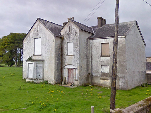 Rosevalefarm house · 1.3 mi
 Grave of the KingsArchaeological place · 1.3 mi
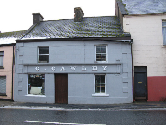 C. Cawleyhouse · 1.4 mi
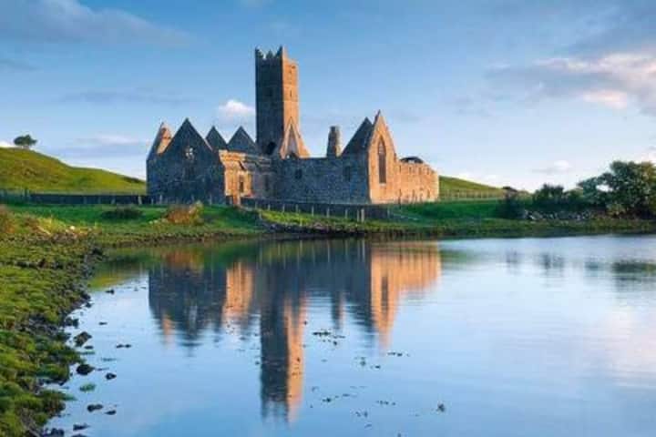 Castle in RuinsCastle, tower house · 1.4 mi
 Castle IslandIslet · 3.1 mi
 Roe IslandIslet · 3.5 mi
 Titanic Memorial ParkMemorial · 4.7 mi
 KnockaffertaghMountain / peak · 8.7 mi
 BirreencorraghMountain / peak · 9.4 mi
Other information
Photo: Credit not shown in the picture search · Rights wording not checked; contact us if this picture should be removed