
Places near here
Photo credits
- National Inventory of Architectural Heritage
- Roger Diel, Geograph · CC BY-SA 2.0
- Natasha Barton, credited by The Clare Echo, www.clareecho.ie
- Kmcnamee, Wikimedia Commons · CC BY-SA 4.0
- Golfing in Ireland; photographer not stated, Source publisher
- BBnet case study of O’Callaghan’s Mills GAA Club; individual photographer not named, www.bbnet.ie
Explorer Tom Megalithic structure in Fortane Beg has a secret talent for looking incredibly mysterious while actually being…
Fulacht fia in Fortane BegFulacht fia · 554 ydExplorer Tom Fulacht fia in Fortane Beg has a ghost who is too lazy to haunt it properly because he’s napping under those four ash…
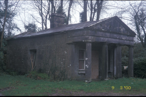 Derrymore HouseGate lodge · 1482 yd
Explorer Tom Derrymore House gate lodge is a tiny building with a huge ego and a Doric portico. Have a sandwich here and call it a…
Castle (Site of)Castle, tower house · 1673 ydExplorer Tom Castle in Maryfort or Lismeehan has a hidden message in its stones that says 'Buy Milk' or something equally profound.…
 Ballynahinch Castle (in Ruins)Castle, unclassified · 1.6 mi
Explorer Tom Castle in Ballymulcashel has a curse for anyone who doesn't wave at it first. It’s perched high up, so if you ignore…
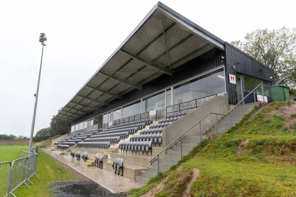 Páirc an Dalaigh, TullaGAA ground · 1.8 miSummor HillMountain / peak · 2.0 mi
Explorer Tom Summor Hill was once ruled by a goat named Gerald who demanded tribute in cheese and absolutely zero respect for any of…
Cloghleagh RockNamed rock · 4.5 miExplorer Tom Cloghleagh Rock smells like old cheese left in a gym bag for three weeks according to my nose. I swear the wind carries…
 Bodyke GAA pitchGAA ground · 4.6 mi
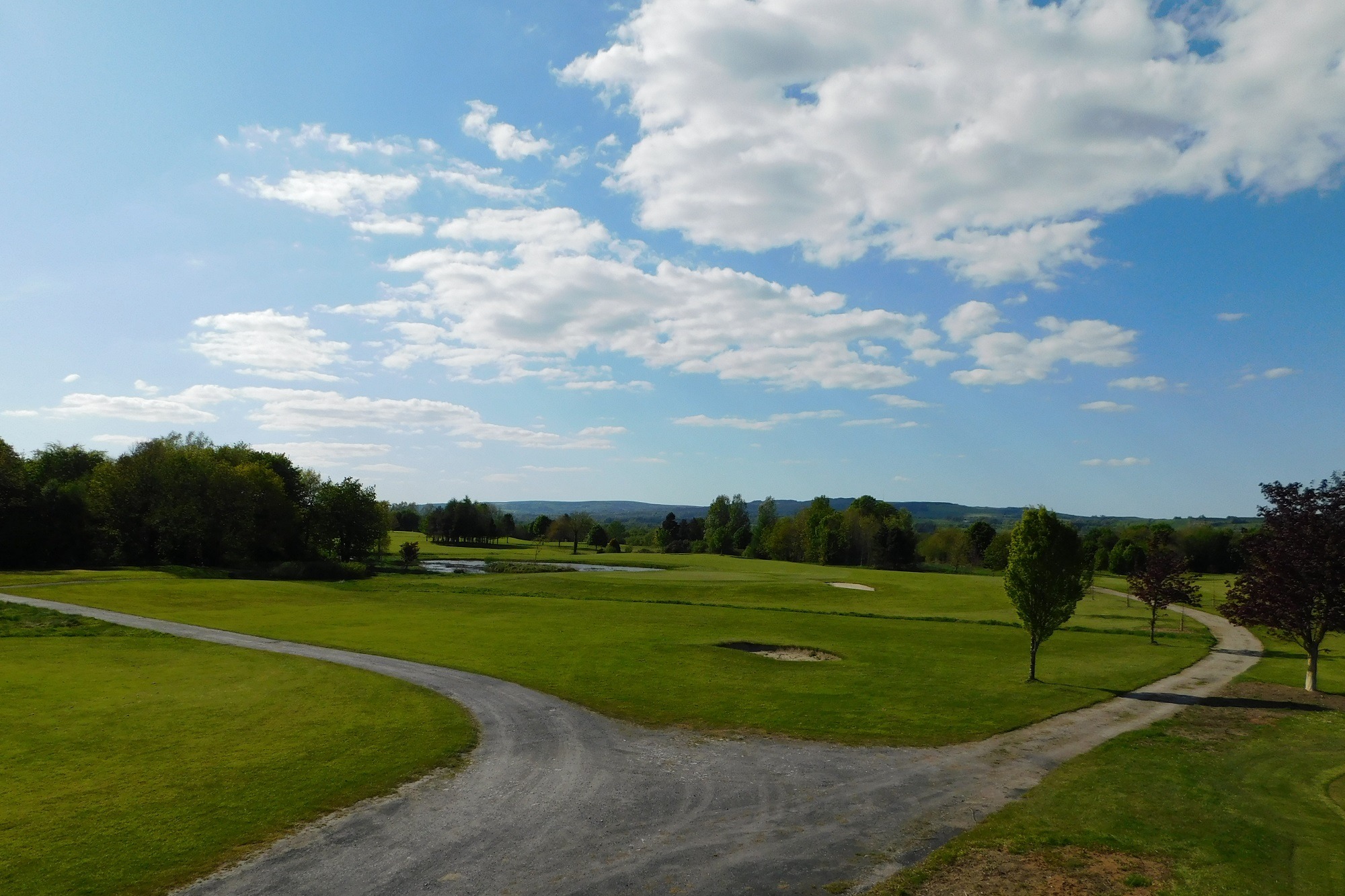 East Clare Golf ClubGolf course · 4.6 mi
 O'Callaghans Mills GAA pitchGAA ground · 4.8 mi
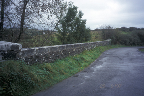 Drumanure BridgeBridge · 20 mi
Explorer Tom Drumanure Bridge would write on its dating profile: 'Single arch, looking for someone who appreciates good stone work…
More archaeology and monuments in County Clare · All of County Clare

What do you know about this place?Tap to add a comment or ask a question