What is recorded here
Indicated is a fairy fort on a Mayo hillcrow, its broken bank still drawing a clear circle above the bog. The west half has become a field boundary, choked with brambles and hawthorn, while gaps mark the north, northeast and south. People may have stood inside it, watched the lowlands or kept it clear for no reason they could name. The shape remains, doing what old places do: pointing back at themselves.
In pasture, prominently located on the crown of a hill, with excellent views over the surrounding landscape of lowlying grassland, expanses of bog and low hills.
Slightly raised circular area (25m N−S; 24.5m E−W) defined by a bank (2.6m; int. H 0.65m; ext. H 1.35m at SE). The bank on the W half now serves as a field boundary, and is densely engulfed in overgrowth. There are several breaks in the bank: at N (1m), at NNE (0.6m) at NE (0.6m) and at S (1m). Interior is level, covered by grass and thistles; perimeter is ringed with hawthorn and brambles, particularly dense on the W.
Compiled by: Jane O'Shaughnessy
Date of upload: 26 June 2020
The monument record does not grant public access. Check the route and ask the landowner before entering private land.
- What survives
- Recorded monument
Places near here
 Kilturra church (in Ruins)Church · 953 yd
 Aughris FortFairy fort / earthen ringfort · 1703 yd
 Indicated (1838).Enclosure · 1.1 mi
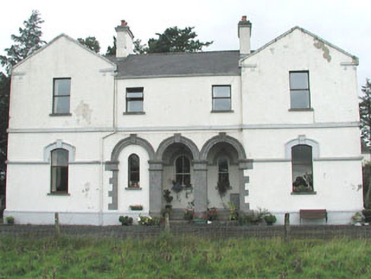 Doobeg Househouse · 1.2 mi
 Ballyfahy Castle (in Ruins)Castle, unclassified · 2.3 mi
 Castle (in Ruins)Castle, tower house · 2.5 mi
 Tymon's HillMountain / peak · 2.6 mi
 Old Cave Burial GroundArchaeological place · 3.8 mi
 Muckelty HillMountain / peak · 5.5 mi
 Brother WalfridMemorial · 6.1 mi
 Caves of KeshCave · 7.0 mi
 Crow IslandIslet · 7.8 mi