
Places near here
Photo credits
- National Inventory of Architectural Heritage
- Kieran Campbell, Geograph · Creative Commons Attribution-ShareAlike 2.0
- PatWhelehan, Wikimedia Commons · CC BY-SA 4.0
- Algirdas at Lithuanian Wikipedia, Wikimedia Commons · Public domain
- Sawyer777, Wikimedia Commons · CC BY-SA 4.0
- Miguel Angel Masegosa Martínez, Wikimedia Commons · CC BY 2.0
- Christopher Hilton, Wikimedia Commons · CC BY-SA 2.0
- Eric Jones, Geograph · Creative Commons Attribution-ShareAlike 2.0
- Gillaween, Wikimedia Commons · CC BY-SA 4.0
- Wikimedia Commons contributor · CC BY 2.5
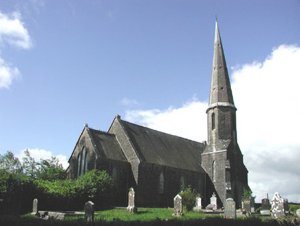 Holy Trinity Church (Killummod)Church/chapel · 2.1 mi
Explorer Tom Holy Trinity Church in Killummod had a matchmaker working there who paired off half the village by 1850. Its stepped…
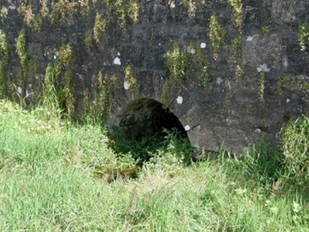 Historic buildingOfficially recorded historic building · 2.1 mi
Explorer Tom History Building in Croghan is a stone bridge that’s currently in a bitter feud with the nearest willow tree over whose…
 IndicatedGraveyard · 3.5 mi
Explorer Tom Graveyard in Estersnow is what happens when nobody's looking: the stones start rearranging themselves into slightly…
 War of Independence Commemorative Military MemorialMemorial · 4.6 mi
Explorer Tom War of Independence Commemorative Military Memorial is secretly proud of the potato that grew in its shadow during the…
 Pedunculate Oak8.7 mi
Explorer Tom Pedunculate Oak in County Roscommon is being claimed by a local who swears he invented it back in his youth, which is a…
 Queen Medb: RathcroghanLegend location · 8.7 mi
Explorer Tom Queen Medb: Rathcroghan is where the Táin starts turning a quarrel about a bull into an epic. Medb had a royal seat…
 Sweet Chestnut8.7 mi
Explorer Tom Sweet Chestnut in County Roscommon decided to give up its acorns for Lent this year because it felt they were too heavy…
 Strokestown HouseMuseum · 8.9 mi
Explorer Tom Strokestown House has a retirement plan that involves becoming a really exclusive holiday rental for people who don’t…
 Strokestown House GardensHeritage attraction · 9.0 mi
Explorer Tom Strokestown House Gardens has a superstition that says if you step on a specific leaf, your next holiday will be…
 Grave YardGraveyard · 9.1 mi
Explorer Tom Graveyard in Tulsk surrounds a priory and holds fifty architectural fragments from the abbey next door. Saint Patrick…
 The Mórrígan: OweynagatLegend location · 9.1 mi
Explorer Tom The Mórrígan: Oweynagat is called the Cave of Cats, which fooled me into expecting a very ordinary sort of trouble.…
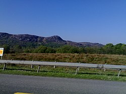 Curlew MountainsMountain / peak · 11 mi
Explorer Tom The Curlew Mountains may have nothing to do with curlew birds, which is awkward because I had prepared a terrific…
More archaeology and monuments in County Roscommon · All of County Roscommon

What do you know about this place?Tap to add a comment or ask a question