
What is recorded here
A church at Fennor is mentioned in the late 13th century and in 1302 John de Fresingfeld got royal permission to hold a weekly fair at Fennor (McCormack, 1989, 12). A small settlement comprising Fennor castle (TS043-003001-), church (TS043-003003-) and three houses are depicted on the mid-17th century Down Survey map. It is located on top of high ground, in pasture, with good views in all directions. The castle is located to the NE and the church and graveyard (TS043-003004-) to the SW. There are barely visible undulating earthworks in the field between Fennor church and castle but no discernible pattern is visible. The presence of rock outcrop close to the ground surface further complicates attempts at interpretation.
Compiled by: Jean Farrelly
Date of upload: 26 August 2011
The monument record does not grant public access. Check the route and ask the landowner before entering private land.
- What survives
- Recorded monument
Places near here
 Fennor Castle (in Ruins)Castle, unclassified · 98 yd
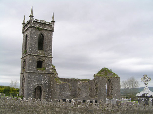 Fennor Churchchurch/chapel · 164 yd
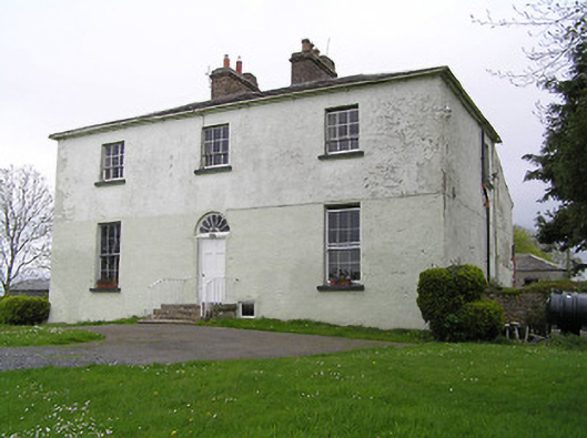 Glebe Houserectory/glebe/vicarage/curate's house · 286 yd
 St. Patricks WellHoly well · 755 yd
 Enclosure in UrlingfordEnclosure · 1493 yd
 Black CastleCastle, hall-house · 1.0 mi
 Kilcooly AbbeyHeritage attraction · 2.9 mi
 KilcooleyForest · 2.9 mi
 Serpentine WoodForest · 3.2 mi
 John HelyMemorial · 3.3 mi
 DelaneyMemorial · 3.3 mi
 Clomantagh HillMountain / peak · 4.3 mi
Other information
Photo: Credit not shown in the picture search · Rights wording not checked; contact us if this picture should be removed