What is recorded here
In flat pasture in with good views in all directions. A well-preserved ringfort consisting of a roughly circular area (diam. 25M NE-SW) enclosed by an earth and stone bank (top Wth 1m; base Wth. 2.7m; int. H 0.2m; ext. H 0.6m) with faint traces of an outer fosse visible in places. There is a possible entrance (Wth 1.5m) at the ENE, now used as a cattle gap. The outline of an outer fosse is barely visible as a slight depression. There is a possible moated site (TS042-020----) 320m to the E.
Compiled by: Jean Farrelly
Date of upload: 26 August 2011
The monument record does not grant public access. Check the route and ask the landowner before entering private land.
- What survives
- Recorded monument
Places near here
 Bawn in GraiguepadeenBawn · 649 yd
 IndicatedEnclosure · 704 yd
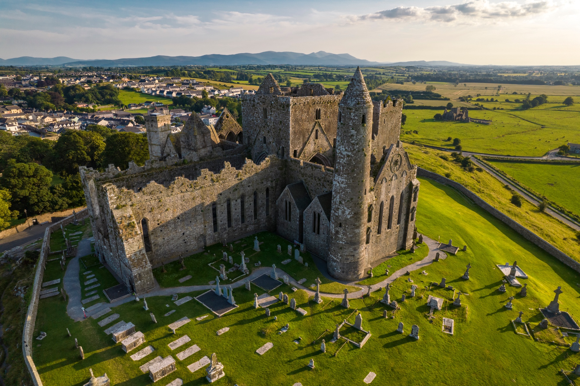 RathkianFairy fort / earthen ringfort · 848 yd
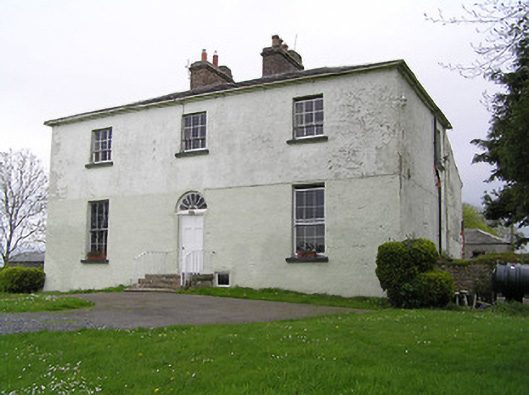 Glebe Houserectory/glebe/vicarage/curate's house · 1232 yd
 RoadRoad, unclassified togher · 1403 yd
 Site of CastleCastle, unclassified · 1426 yd
 Kilcooly AbbeyHeritage attraction · 3.2 mi
 KilcooleyForest · 3.3 mi
 Serpentine WoodForest · 3.6 mi
 John HelyMemorial · 3.9 mi
 DelaneyMemorial · 4.0 mi
 Bregaun HillMountain / peak · 4.9 mi