What is recorded here
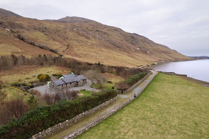
On N shore of Inishbofin at E edge of a sea inlet. Subcircular hut (D 15m) defined by drystone double walling with a rubble core. The SE sector has been damaged by construction of a later rectangular structure.
The above description is derived from the published 'Archaeological Inventory of County Galway Vol. I - West Galway'. Compiled by Paul Gosling (Dublin: Stationery Office, 1993).
Date of upload: 05 August 2010
The monument record does not grant public access. Check the route and ask the landowner before entering private land.
- What survives
- Recorded monument
Places near here
 North BeachBeach / strand · 149 yd
 Promontory fortPromontory fort, coastal · 554 yd
 Ecclesiastical enclosure in WestquarterEcclesiastical enclosure · 767 yd
 InishbofinIsland · 848 yd
 West Quarter BeachBeach / strand · 1088 yd
 PollatlooaCave · 1461 yd
 Vincent Josef O'HalloranMemorial · 1537 yd
 Inishbofin Signal TowerRuins · 1596 yd
 Barrack PointHeadland · 1629 yd
 Site of Guairims CastleCastle, unclassified · 1.0 mi
 Port IslandIslet · 1.1 mi
 Dun Mor CliffsCliff · 1.1 mi