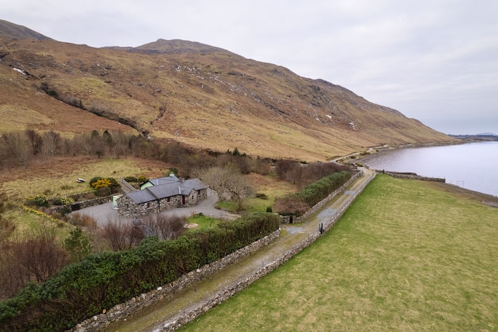
What is recorded here
Promontory fort stands on a rocky headland at the indented north coast of Inishbofin, an uneven 80-by-54-metre platform flanked by deep chasms. Its curving, much-collapsed wall and a small circular hut outside suggest people shaped the edge of the sea rather than building a grand palace. The missing entrance and broken stones leave the doorway imagined, but the chasm does the guarding.
On a rocky headland on indented N coast of Inishbofin. An irregular and uneven area (80m by 54m) flanked by deep chasms. Defined along SE side by a curving and much collapsed wall (Wth 2.6m, H >1m), the inner and outer drystone revetments of which survive intermittently. No clear trace of an entrance is visible. Immediately outside the wall are the remains of a circular hut (D 2.5m) (info. from M. Casey). Not visited.
The above description is derived from the published 'Archaeological Inventory of County Galway Vol. I - West Galway'. Compiled by Paul Gosling (Dublin: Stationery Office, 1993).
Date of upload: 05 August 2010
The monument record does not grant public access. Check the route and ask the landowner before entering private land.
- What survives
- Recorded monument
Places near here
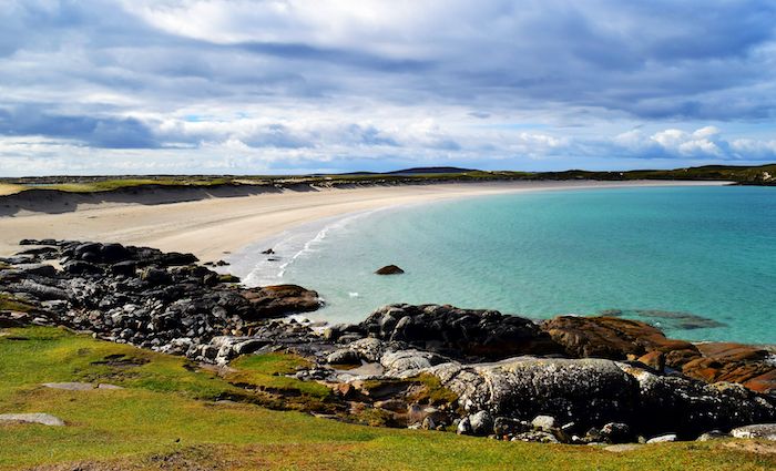 North BeachBeach / strand · 629 yd
 PollatlooaCave · 1082 yd
 InishbofinIsland · 1102 yd
 Ecclesiastical enclosure in WestquarterEcclesiastical enclosure · 1291 yd
 West Quarter BeachBeach / strand · 1631 yd
 DoongraniaPromontory fort, coastal · 1.0 mi
 DoonmoreBay · 1.1 mi
 Vincent Josef O'HalloranMemorial · 1.1 mi
 Dun Mor CliffsCliff · 1.2 mi
 Inishbofin Signal TowerRuins · 1.2 mi
 CarrickmoreIslet · 1.2 mi
 Site of Guairims CastleCastle, unclassified · 1.3 mi
Other information
Photo: Credit not shown in the picture search · Rights wording not checked; contact us if this picture should be removed