What is recorded here
The fairy fort or earthen ringfort in Farranyharpy is in County Sligo, Ireland. It occupies a low rise in rough undulating pasture as a raised circular area measuring 40.5 metres east-west and 35 metres north-south. A scarp defines the northern and north-eastern edge while a modern drystone wall marks the remainder, though the enclosing element is missing between the north-west and north-north-east. Large boulders scatter across the south-western interior.
Situated on a low rise in rough undulating pasture. Raised circular area (40.5m E-W; 35m N-S) defined from N-ENE by a scarp and elsewhere by a modern drystone wall. The enclosing element has been removved at NW-NNE. Within the interior at SW is a scatter of large boulders.
Compiled by: Patrick F. O'Donovan
Date of upload: 19 January 2011
The monument record does not grant public access. Check the route and ask the landowner before entering private land.
- What survives
- Recorded monument
Places near here
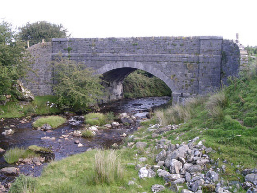 bridgebridge · 668 yd
 IndicatedEnclosure · 827 yd
 Enclosure in Lecarrow (tireragh By., Skreen Ed)Enclosure · 1519 yd
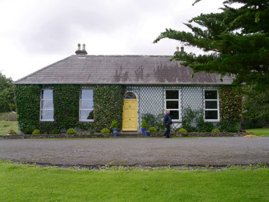 Holy Hill Hermitagehouse · 1582 yd
 Knockalongy North-East TopMountain / peak · 1.5 mi
 KnockalongyMountain / peak · 1.9 mi
 Valley WoodForest · 2.8 mi
 Dunmoran StrandBeach / strand · 3.1 mi
 Pigeonpark WoodForest · 3.1 mi
 Bawn in Longford DemesneBawn · 3.1 mi
 Aughris BeachBeach / strand · 3.3 mi
 Giant's GraveArchaeological place · 3.8 mi