What is recorded here
On top of high poorly drained grassland with good views in all directions, nearby burial mound (TS049-32----) 124m to E and burials (TS049-030----) 138m to W. Well-preserved ring-barrow consisting of a flat-topped mound (diam. 3m E-W; H 0.2m; overall diam. 11.5m N-S; 10m E-W) enclosed by an inner fosse (Wth 2m; ext. D 0.2m) and outer bank (top Wth 1.6m; base Wth 2.3m; int. H 0.4m; ext. H 0.4m) which intersected at S on an E-W axis. Mound is overgrown with gorse bushes.
Compiled by: Jean Farrelly
Date of upload: 26 August 2011
Bronze Age ring-barrow; dates to approximately 1000–700 BCE. Its well-preserved flat-topped mound and location on elevated ground suggest it was a prominent burial and ceremonial site in its landscape.
The monument record does not grant public access. Check the route and ask the landowner before entering private land.
- What survives
- Recorded monument
Places near here
 Warhouse HillMountain / peak · 6 yd
 The Warhousehouse · 90 yd
 Farranrory CastleCastle · 1262 yd
 IndicatedEnclosure · 1436 yd
 Slieveardagh Househouse · 1.1 mi
 Fulacht fia in BolintleaFulacht fia · 1.2 mi
 Top Field at Carey'sForest · 2.1 mi
 The Lower Field Beside the LaneForest · 2.2 mi
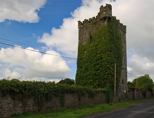 Site of Williamstown CastleCastle, unclassified · 2.3 mi
 Bregaun HillMountain / peak · 2.7 mi
 Kilcooly AbbeyHeritage attraction · 4.1 mi
 Derrynaflan TrailHeritage attraction · 7.5 mi