What is recorded here
Indicated is a D-shaped fairy fort in County Leitrim, marked on the 1835 Ordnance Survey map but absent from the later Wogan estate survey. Its earthen bank rises two metres on the outside and collapses to a shallow scarp at the edges, enclosing scrub and shadow rather than a clear home. The straight eastern side disappears into the cairn around a ruined tower house, while a graveyard waits just beyond the northern curve. The fort does not resist observation; it redirects it, pulling attention from the dead and the tower back into the hidden life of the land.
Situated on a low-lying, undulating landscape. It is not depicted on an eighteenth century estate map (Wogan 1850, 26) but is represented on the 1835 edition of the OS 6-inch map. This is a D-shaped, scrub-covered area (dims 36m N-S; 25m E-W) defined by an overgrown earthen bank (Wth of base 2.5-3.5m; int. H 0.2-0.8m; ext. H 1.8-2.2m) WNW-NE and SE-SW, which is reduced to a scarp (at W: Wth 1m; H 1.8m; at E: Wth 2.5m; H 1.5m) elsewhere. There is no visible fosse or recognisable original entrance. The straight side is at E where the perimeter is covered by the cairn around the tower house (LE036-021003-). The graveyard (LE0356-021002-) is just to the NE.
Compiled by: Michael Moore
Date of upload: 7 January 2020
The monument record does not grant public access. Check the route and ask the landowner before entering private land.
- What survives
- Recorded monument
Places near here
 OratoryCastle, tower house · 8 yd
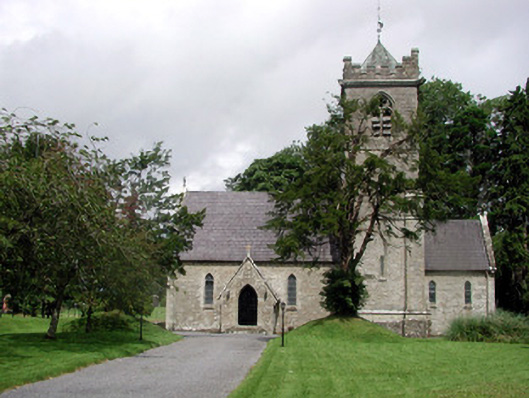 Saint Mary's Church (Cloone)church/chapel · 64 yd
 IndicatedEnclosure · 75 yd
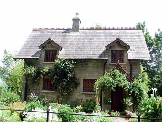 The Cottageworker's house · 118 yd
 Derrinch IslandIslet · 1168 yd
 CruckalissaFairy fort / earthen ringfort · 1.2 mi
 Lady Elizabeth's IslandIslet · 1.2 mi
 Holm OakHolm Oak · 1.6 mi
 CastleCastle, tower house · 1.6 mi
 Western HemlockWestern Hemlock · 1.6 mi
 Giant's GraveArchaeological place · 2.6 mi
 Cavan & Leitrim RailwayMuseum · 3.8 mi