
What is recorded here
Indicated is a subcircular graveyard on a rise in County Leitrim, holding eighteenth-century headstones within a boundary of masonry and collapsed earth. Its stones were thrown up from inside rather than brought from elsewhere, suggesting the dead helped build the wall that surrounds them. The place still marks the difference between a temporary field and a remembered life.
Situated on a rise in a low-lying, undulating landscape. The graveyard (LE036-021001-) is with a subcircular enclosure (int. dims 85m N-S; 69m E-W) defined by a masonry wall NW-SE and by an earthen bank topped with a collapsed stone wall elsewhere. It has headstones dating from the 18th century. Archaeological supervision (00E0867) of the replacement of the perimeter with a masonry wall NE-SE demonstrated that it was a slight earth and stone bank and the stones had been thrown up from inside. However, it produced no dateable material (Meenan 2001, 2002).
Compiled by Michael Moore
Date of upload: 18 October 2010
Amended: 7 January 2020
The monument record does not grant public access. Check the route and ask the landowner before entering private land.
- What survives
- Recorded monument
Places near here
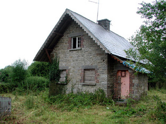 Lough Rynn Housegate lodge · 62 yd
 OratoryCastle, tower house · 67 yd
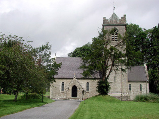 Saint Mary's Church (Cloone)church/chapel · 77 yd
 Derrinch IslandIslet · 1208 yd
 CruckalissaFairy fort / earthen ringfort · 1.2 mi
 Lady Elizabeth's IslandIslet · 1.2 mi
 ToberearlyHoly well · 1.4 mi
 Holm OakHolm Oak · 1.6 mi
 CastleCastle, tower house · 1.6 mi
 Western HemlockWestern Hemlock · 1.6 mi
 Giant's GraveArchaeological place · 2.6 mi
 Turlough O'Carolan MonumentHeritage attraction · 3.8 mi
Other information
Photo: Credit not shown in the picture search · Rights wording not checked; contact us if this picture should be removed