What is recorded here
Indicated is a fairy fort in County Longford, a circular earthwork thirty-one metres across, buried under wet pasture and cut by modern field boundaries. Its double banks and deep ditches still mark the shape of a place people stopped entering, perhaps because the fairies never left. The swelling ground and hidden entrance suggest a house built for beings who do not need doors, only witness.
On a gentle NNW-facing slope in poorly drained, wet pasture. A raised circular area (diam. 31.7m) enclosed by a wide, low bank of earth and stone (Wth 6.6m; H 0.3-1.3m) with a wide, deep intervening fosse (Wth 5.4m; D 0.95m), an outer bank (Wth 6.9m; H 0.9m) and an outer fosse (Wth 4.1m; D 0.25m). The latter is identifiable only from ENE-E-SSE. The rath is divided into roughly equal portions by a modern NW-SE field boundary, which also marks the townland boundary. The portion to the SW (in Garvagh townland) has been levelled but its outline is still identifiable, that to the NE is divided into unequal portions by a modern ENE-WSW field boundary. The much-smaller portion, to the NW, has been levelled but again its outline is still evident. The original entrance is not recognisable.
Compiled by: Patrick F. O'Donovan
Date of upload: 11 January 2012
The monument record does not grant public access. Check the route and ask the landowner before entering private land.
- What survives
- Recorded monument
Places near here
 Church in AghafadChurch · 374 yd
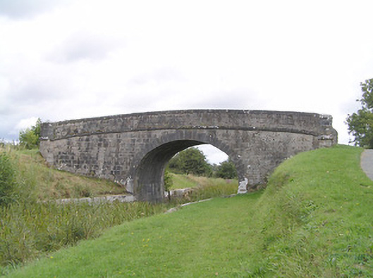 Farranyoogan Bridgebridge · 1098 yd
 BarrowBarrow, unclassified · 1231 yd
 Fulacht fia in MullaghavorneenFulacht fia · 1585 yd
 First World War MemorialMemorial · 1679 yd
 Saint Mel's CathedralCathedral · 1.1 mi
 Bawn in AbbeycartronBawn · 1.3 mi
 Graveyard in Curry (ardagh By., Coolamber Ed)Graveyard · 2.0 mi
 CastleCastle, Anglo-Norman masonry castle · 3.1 mi
 Commons North WalkVisitor information · 8.6 mi
 Wild birdsVisitor information · 8.7 mi
 White Sand WoodWood · 8.9 mi