
What is recorded here
From the National Monuments Service (Archaeological Survey of Ireland) record CO142-068
Places near here
Photo credits
- Maker not stated on source page, www.pinterest.com
- Maker not stated on source page, www.dreamstime.com
- Maker not stated on source page, en.wikipedia.org
- Mac McCarron, Geograph · CC BY-SA 2.0
- Maker not stated on source page, www.tripadvisor.com.ph
- National Inventory of Architectural Heritage
- Maker not stated on source page, commons.wikimedia.org
- The Southern Star; individual photographer not named, www.southernstar.ie
- Gordon Hatton, Geograph · CC BY-SA 2.0
 Enclosure in Gortbrack (carbery West (e.d) By.)Enclosure · 689 yd
Explorer Tom Enclosure in Gortbrack sits on a rock outcrop with a man-made scarp to the west. It's oval-shaped and perched up high…
 Church in Bawnnagollopy (carbery West (e.d.) By., Castlehaven Par.)Church · 691 yd
Explorer Tom Church in Bawnnagollopy, County Cork, has no official record yet, so it’s basically a mystery box with a church label.…
 Fairy fort / earthen ringfort in Gortbrack (carbery West (e.d) By.)Fairy fort / earthen ringfort · 710 yd
Explorer Tom Fairy fort / earthen ringfort in Gortbrack By.) has a hidden message in its stones that just says 'please stop touching…
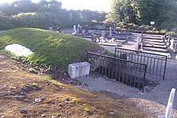 Castlehaven New CemeteryCemetery · 732 yd
Explorer Tom Legend says the Vikings got lost looking for Castlehaven New Cemetery because they kept going left when they should…
Fairy fort / earthen ringfort in Raheen (carbery West (e.d) By.)Fairy fort / earthen ringfort · 748 ydExplorer Tom Fairy fort / earthen ringfort in Raheen would post a selfie of its own bank with the caption 'living my best life'. The…
 St. Barrahane's Roman Catholic ChurchChurch/chapel · 900 yd
Explorer Tom St. Barrahane's Roman Catholic Church in Fahouragh is standing isolated near Castletownshend with polychrome tiles that…
 CastleCastle, unclassified · 941 yd
Explorer Tom Castle (Bluid East) in Bluid East, County Cork is called Dun Mic Oghmainn and might have crumbled over the cliff long…
 Castletownsend National SchoolSchool · 983 yd
Explorer Tom Castletownsend National School is standing tall with its ten-bay facade and those lovely rubble limestone walls. Built…
 Bullaun stone in GurranesBullaun stone · 1065 yd
Explorer Tom Bullaun stone in Gurranes is mentioned in a file but not located, hanging out somewhere near Knockdrum fort like a lost…
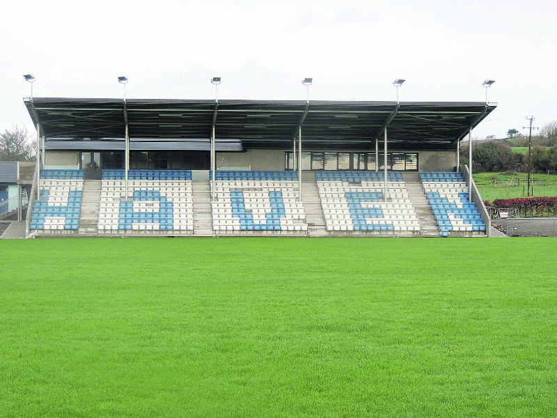 Moneyvollahane, CastlehavenGAA ground · 1.0 mi
 Castlehaven StrandBeach / strand · 1.1 mi
Explorer Tom Castlehaven Strand started because two lads bet each other they could find a beach named after a castle that wasn’t…
 Castle Haven (in Ruins)Castle, tower house · 1.1 mi
Explorer Tom Castle Haven is a battered old tower house that fell down in nineteen twenty-six, leaving only a ground-level face to…
More archaeology and monuments in County Cork · All of County Cork

What do you know about this place?Tap to add a comment or ask a question