
Places near here
Photo credits
- Mike Searle, Wikimedia Commons · CC BY-SA 2.0
- National Inventory of Architectural Heritage
- Maria Teresa Satta, Wikimedia Commons · CC BY-SA 4.0
- Neville Goodman, Geograph · CC BY-SA 2.0
- Spa GAA Club official website; individual photographer not named, spagaa.com
- National Library of Ireland on The Commons, Wikimedia Commons · No restrictions
- Golfing in Ireland; photographer not stated, Source publisher
- PAUL FARMER, Wikimedia Commons · CC BY-SA 2.0
- Sitomon, Wikimedia Commons · CC BY-SA 2.0
- Marathon, Geograph · CC BY-SA 2.0
- Peter Gerken, Geograph · CC BY-SA 2.0
 Flesk CastleCastle · 910 yd
Explorer Tom Flesk Castle is arguing with a fairy about who gets the best parking spot. The wind has been picking on its roof for…
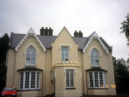 WoodfordHouse · 938 yd
Explorer Tom Woodford in Lissyviggeen is triple-gabled because one map maker got really drunk before drawing it and just added extra…
 Lissivigeen Stone CircleHeritage attraction · 1361 yd
Explorer Tom Lissivigeen Stone Circle is home to the Seven Sisters, who are surrounded by their parents standing awkwardly in the…
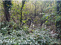 Sheheree Bog Nature ReserveNature reserve · 1385 yd
Explorer Tom Sheheree Bog Nature Reserve in County Kerry is basically a giant swampy trampoline that nobody maintains. I bet the guy…
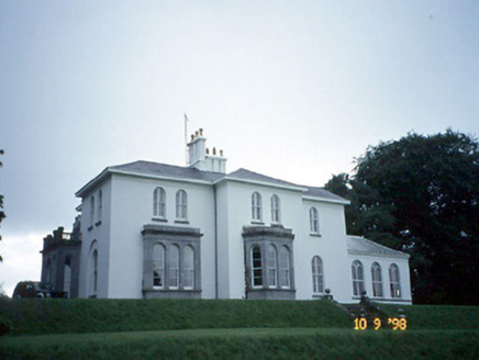 Coolclogher HouseCountry house · 1558 yd
Explorer Tom Coolclogher House was built after two lads bet a tenner over a pint in 1850. The Italianate style is a bit much, but…
 Spa GAA pitchGAA ground · 1.5 mi
 McCarthy Mor CastleCastle · 1.6 mi
Explorer Tom McCarthy Mor Castle’s New Year's resolution is to stop falling down, but it’s already failed twice this decade. It sits…
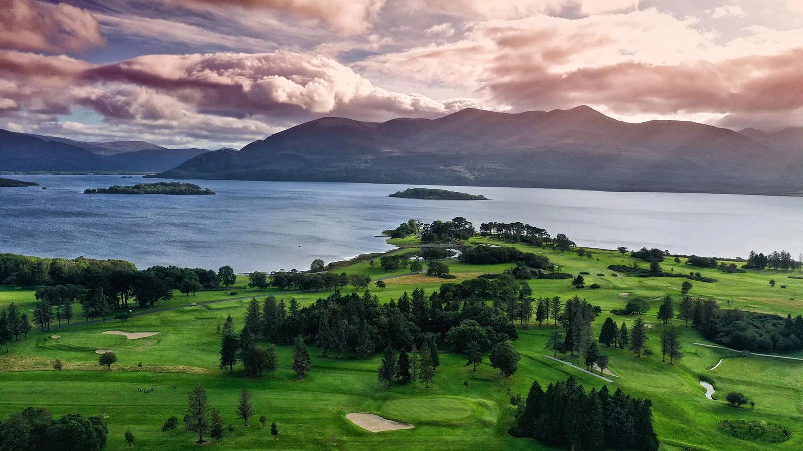 Killarney Golf ClubGolf course · 1.8 mi
 Red Deer of IrelandSculpture · 1.8 mi
Explorer Tom Red Deer of Ireland stands there looking like the mother-in-law who designed it finally got her own monument. It’s been…
 European Yew1.9 mi
Explorer Tom Two families are feuding over this European Yew in County Kerry, purely because they can't agree on the view. It’s just…
 Monsignor Hugh O'Flaherty MemorialMemorial · 2.0 mi
Explorer Tom The Monsignor Hugh O'Flaherty Memorial in County Kerry thinks the road leading to it is a personal insult to its…
 Castlelough BayBay · 2.0 mi
Explorer Tom Castellough Bay has a bird that refuses to leave no matter how much the wind tries to blow it away, and frankly, I envy…
More archaeology and monuments in County Kerry · All of County Kerry

What do you know about this place?Tap to add a comment or ask a question