What is recorded here
Situated on high ground in undulating countryside. Roughly circular area(N-S diam 35m; E-W 32m approx.) enclosed by an earth and stone bank(W 1.50m; Int.H. 1m; ext H. 1m) which is totally destroyed from West to North with no evidence of an outer fosse or entrance feature. Field boundary intersects Northern side of site, enclosing bank has several large upright stones in bank construction giving it a cashel like appearance.
From the National Monuments Service (Archaeological Survey of Ireland) record OF006-027
Places near here
Photo credits
- dougf, Wikimedia Commons · CC BY-SA 2.0
- National Inventory of Architectural Heritage
- Willow, Wikimedia Commons · CC BY 2.5
- A.-K. D., Wikimedia Commons · CC BY-SA 4.0
- Mike Searle, Wikimedia Commons · CC BY-SA 2.0
 Esker CastleCastle, tower house · 1120 yd
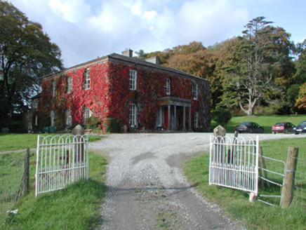 The DoonCountry house · 1291 yd
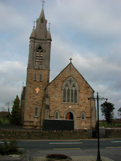 Saint Colmcille's Catholic ChurchChurch/chapel · 1.2 mi
 European ash1.5 mi
 Endrim HillMountain / peak · 3.4 miLong IslandIsland · 4.6 miBallylin Bog BoardwalkHeritage attraction · 4.6 mi
 St. Managhans WellHoly well · 4.7 mi
 AbbeyHermitage · 4.9 miDún na SíMuseum · 5.1 mi
 Clonlyon CastleCastle, tower house · 5.2 miCharles BianconiMemorial · 5.3 mi
More archaeology and monuments in County Offaly · All of County Offaly
What do you know about this place?Tap to add a comment or ask a question