What is recorded here
On a low-lying, level landscape. Described as a circular area (diam. 42m) defined by an earth and stone bank and an outer rounded fosse, with an entrance (Wth 3m) and causeway at E (Gannon, 1972). It is not visible at ground level in reclaimed pasture.
Compiled by: Michael Moore
Date of upload: 24 August 2010
A local fairy fort (ringfort/rath); wider significance not recorded.
The monument record does not grant public access. Check the route and ask the landowner before entering private land.
- What survives
- Recorded monument
Places near here
 IndicatedFairy fort / earthen ringfort · 1105 yd
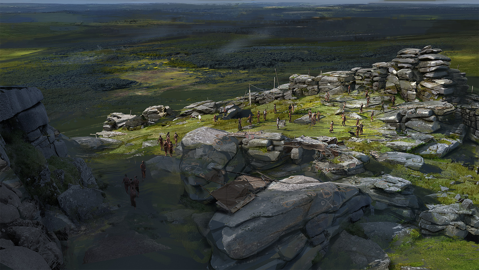 Hilltop enclosure in KilleenadeemaHilltop enclosure · 1636 yd
 Loobinroe Windmillmill (wind) · 1660 yd
 CastleCastle, unclassified · 1.9 mi
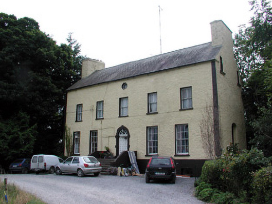 Bushypark Housecountry house · 2.2 mi
 European Crab AppleEuropean Crab Apple · 2.3 mi
 Inchnaveague IslandIslet · 2.7 mi
 Castle (Site of)Castle, unclassified · 3.3 mi
 InchnagowerIslet · 3.3 mi
 TogherfinnForest · 3.9 mi
 Hangman's HillMountain / peak · 5.3 mi
 Mount MaryMountain / peak · 8.1 mi