What is recorded here
At S end of a long low hill in pastureland, it stands on N side of a rectangular graveyard (GA061-080002-). This medieval monastery, the earliest documentary record of which occurs in 1436-7, appears to have been founded as a Carmelite house, possibly becoming Franciscan later (Connellan 1943b, 15-21; Gwynn and…
Read the whole record
From the National Monuments Service (Archaeological Survey of Ireland) record GA061-080003
Places near here
Photo credits
- Maker not stated on source page, commons.wikimedia.org
- National Inventory of Architectural Heritage
- Maker not stated on source page, www.pinterest.com
- Maker not stated on source page, ru.pinterest.com
- Maker not stated on source page, en.wikipedia.org
- Mike Searle, Geograph · CC BY-SA 2.0
- Maker not stated on source page, www.dreamstime.com
- Kmcnamee, Wikimedia Commons · CC BY-SA 4.0
- Maker not stated on source page, www.gettyimages.ae
 Graveyard in EglishGraveyard · 47 yd
Explorer Tom Graveyard in Eglish is ready for battle. It would survive a zombie attack by hiding in plain sight and pretending to be…
 CastlegarFolly · 473 yd
Explorer Tom Castlegar has a curse that only hits people who don’t wave at it first. It’s basically a round tower in costume, trying…
 Fairy fort / earthen ringfort in Ervallagh OughterFairy fort / earthen ringfort · 1.0 mi
Explorer Tom Fairy fort / earthern ringfort in Ervallagh Oughter is just a slight depression in the grass. A bishop refused to visit…
 Holy well in Castlegar EastHoly well · 1.2 mi
Explorer Tom Holy well in Castlegar East is playing hide-and-seek with me, and I suspect it’s hiding behind a very rude cloud cover.…
 Linear earthwork in DalysgroveLinear earthwork · 1.2 mi
Explorer Tom Dalysgrove's linear earthwork was the first owner's escape plan, probably because he got tired of the neighbours'…
 Daly's GroveWalled garden · 1.2 mi
Explorer Tom Daly's Grove in County Galway is a walled garden that once sheltered tomatoes like they were royalty. A cow tried to…
 Country house in DalysgroveCountry house · 1.3 mi
Explorer Tom Country house in Dalysgrove would bring a full set of chandeliers to any party, even if they were hanging from thin…
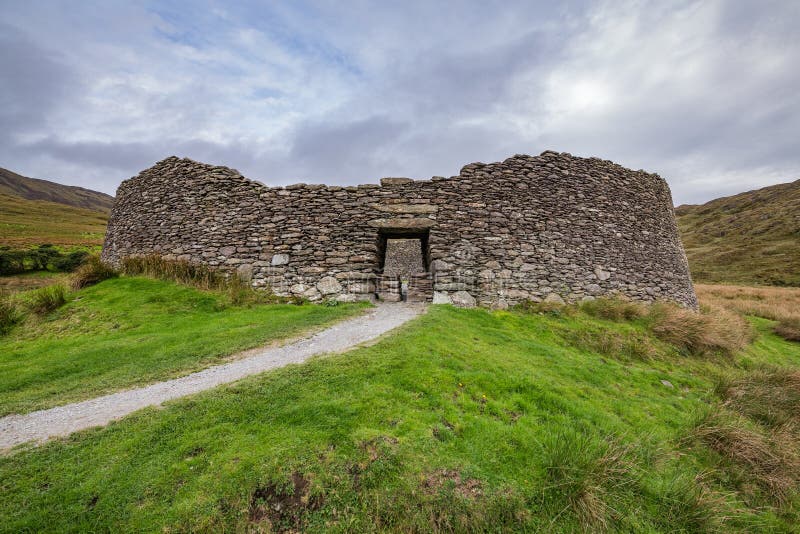 Fairy fort / ringfort in Castlegar West,killuppaun (mahon)Fairy fort / ringfort · 1.3 mi
Explorer Tom Fairy fort / ringfort in Castlegar West has a gap at the south-west that might be original, or just lazy. A prophecy…
 Fairy fort / ringfort in Killuppaun (clonbrock)Fairy fort / ringfort · 1.6 mi
Explorer Tom Fairy fort / ringfort in Killuppaun is cut by roads like a sandwich with no bread left inside. There’s probably an…
 Ahascragh, Ahascragh/FohenaghGAA ground · 1.8 mi
 Mapped graveyardGraveyard · 1.9 mi
Explorer Tom A mapped graveyard in County Galway has a family tree that is mostly invented by people who got bored and made things…
 Castle Rodger (in ruins)Castle, unclassified · 2.3 mi
Explorer Tom Castle Rodger in Killure Beg, Galway has no history because nobody wrote anything down, which is my favorite kind of…
More historic places in County Galway · All of County Galway

What do you know about this place?Tap to add a comment or ask a question