What is recorded here
Killuppaun holds a broken ring where a road cut through ancient life. The grassland keeps a shallow scar instead of a proud wall, yet the shape still suggests people moving around a central place. Perhaps they built the underground passage to hide food, children or memory when danger came. The road takes the ring apart each day, but the field bank and surviving scarp preserve enough for imagination to complete what measurement cannot.
In gently undulating grassland. Very poorly preserved subcircular rath (N-S c. 50m, E-W c. 45m) defined by a scarp which survives from SE through S to SSW, and from W to N. The monument is cut at E and W by a road and by a field bank at N, There is a prabable Man-made underground passage (GA074-064001-) in the interior.
The above description is derived from the published 'Archaeological Inventory of County Galway Vol. II - North Galway'. Compiled by Olive Alcock, Kathy de hÓra and Paul Gosling (Dublin: Stationery Office, 1999).
Date of upload: 05 August 2010
The monument record does not grant public access. Check the route and ask the landowner before entering private land.
- What survives
- Recorded monument
Places near here
 IndicatedEnclosure · 847 yd
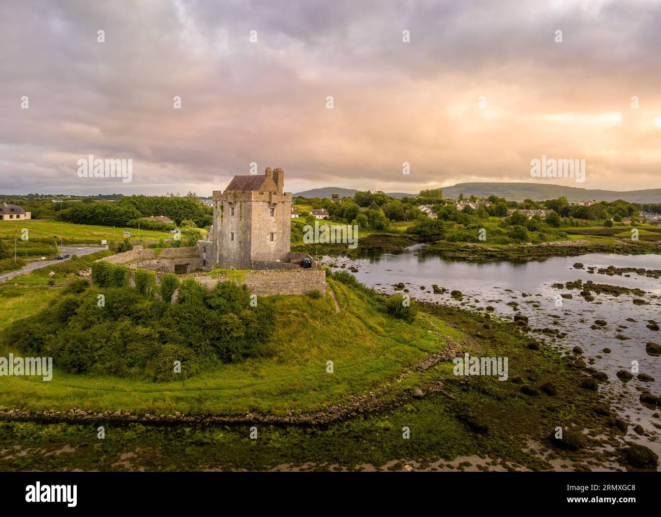 LisnarnooFairy fort / ringfort · 882 yd
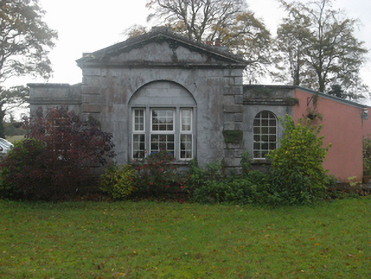 Castlegargate lodge · 972 yd
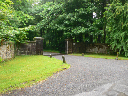 Weston Housedemesne walls/gates/railings · 978 yd
 LismoneyForest · 1.2 mi
 European ashEuropean ash · 1.4 mi
 Killure Castle (in ruins)Castle, tower house · 2.1 mi
 Clonbrock CastleCastle, tower house · 2.9 mi
 Clooncoran IslandIsland · 3.4 mi
 Inch IslandIsland · 5.0 mi
 Kilconnell AbbeyHeritage attraction · 5.3 mi
 Battle of Aughrim Interpretative CentreMuseum · 6.2 mi