
What is recorded here
Monument surveyed in 2015 and described by McGuinness (2015, 50) as following: ‘Circular monument comprising a broad, steep-sided, flattish-topped mound or platform of stony earth (Diam. (flat top) 22.2m N-S x 21.4m E-W) rising from a lower platform (Diam. 38m N-S x 36m E-W) to give a stepped effect. Upper surface of monument appears flat and approximately level from a distance, despite the land on which it is sited falling away much more sharply to E than to W; nonetheless, when seen up close, centre of upper surface is in fact gently domed, as if there were a low mound surrounded by a shallow ‘ditch’, the latter feature being most noticeable at N and SW. A few small boulders are visible on upper surface, some appearing to form linear features and other patterns. Height of upper step over lower varies only slightly around the perimeter (N: 0.91m; E: 1.36m; S: 1.23m; W: 1.22m), as does that of the lower step over ground level (N: 0.33m; E: not available; S: 0.81m; W: 0.55m); lower step on E side appears to slope gently downwards towards edge of monument. Around parts of circumference, e.g. at NE, lower step appears like a ditch with outer bank, possibly to keep the step at a similar level despite the varying height of surrounding ground level. Width of lower step varies quite broadly (N: 3.8m; E: 4.8m; S: 3.4m; W: 2.4m), although E side, where it is widest, has been disturbed. Edge of upper step from NW-W-S appears to have been revetted with boulders; no revetment is visible on SE side, where part of upper step has slipped down. A similar boulder revetment or kerb can also be seen on S side of lower step. There appears to be no evidence for an entrance. Monument is located at edge of a low rise in fairly low-lying pasture, where the rise begins to slope down steeply to poorly drained land at its foot less than 100m to SE; visibility is quite poor all around, being best to E and SE. Visible about 300m to SE is a second, very similar monument, but this time with a stone revetted bank on the edge of the upper step, and it appears therefore to be a ringfort (WM013-079----); and visible c. 400m to SE is a third, much larger monument named ‘Rathmore’ on OS 6” map, again similar but more clearly a ringfort (WM013-080----) with foundations of a structure visible in the interior and a bank outside the lower step, such that the latter is actually the base of a ditch in this monument. About 800m to N in Edmondstown is another unclassified-barrow (WM013-048----) and c. 1.2km to NNW in Jeffrystown is a ring-barrow (WM013-113----)’.
Compiled by: Caimin O'Brien based on details provided by David McGuinness.
Date of upload: 8 February 2016
The monument record does not grant public access. Check the route and ask the landowner before entering private land.
- What survives
- Recorded monument
Places near here
 Hachured, RathmoreFairy fort / earthen ringfort · 452 yd
 Partially hachuredFairy fort / earthen ringfort · 993 yd
 Chapel in ruinsChapel · 1286 yd
 Saint Joseph's Catholic Churchchurch/chapel · 1596 yd
 OutlinedCastle, unclassified · 1.0 mi
 CastleCastle, motte · 1.1 mi
 GinkgoGinkgo · 2.0 mi
 KnockeyonMountain / peak · 4.8 mi
 Long PlantingForest · 4.9 mi
 Seafin HillMountain / peak · 8.7 mi
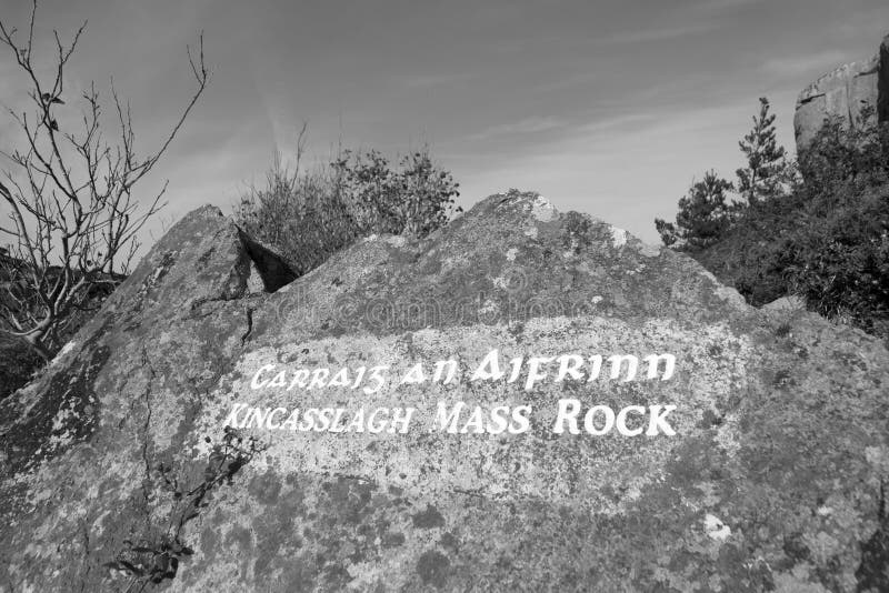 Mass-rock in TevrinMass-rock · 1137 yd
 No indicatedFairy fort / ringfort · 1475 yd
Other information
Photo: Credit not shown in the picture search · Rights wording not checked; contact us if this picture should be removed