
What is recorded here
Situated on a small hillock of rock outcrop, surrounded by undulating grassland, with fairly good views all around. A circular shaped area (approx. diam. 23m N-S) enclosed by a low bank of earth and stone. The bank is fragmentary and comprises a considerable amount of rock. There is a possible entrance gap (Wth 1.2m) at SE. A field fence running NE-SW uts through the perimeter of the site from NE-S, and a second field fence intersects the monument at NW. The interior is level, with several areas of rock outcrop visible.
See attached profile of monument surveyed and drawn by the ASI.
Compiled by: Frank Coyne and Caimin O'Brien
Date of upload: 24 July 2018
The monument record does not grant public access. Check the route and ask the landowner before entering private land.
- What survives
- Recorded monument
Places near here
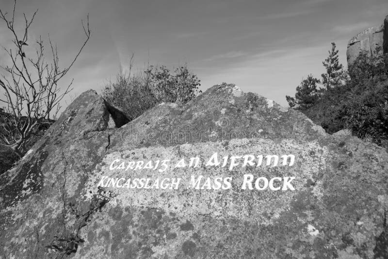 Mass-rock in TevrinMass-rock · 165 yd
 Partially hachuredFairy fort / earthen ringfort · 245 yd
 Chapel in ruinsChapel · 338 yd
 Saint Joseph's Catholic Churchchurch/chapel · 673 yd
 OutlinedCastle, unclassified · 1.0 mi
 Site of Fennor CastleCastle, tower house · 1.4 mi
 GinkgoGinkgo · 1.6 mi
 KnockeyonMountain / peak · 5.4 mi
 The FurzeForest · 6.1 mi
 Kells HillMountain / peak · 9.0 mi
 Croppies' GraveMemorial · 12 mi
 Hachured, RathmoreFairy fort / earthen ringfort · 546 yd
Other information
Photo: Credit not shown in the picture search · Rights wording not checked; contact us if this picture should be removed