
What is recorded here
Situated on a low hillock in undulating rocky grassland. The road which forms the townland boundary with Killynan lies 20m to W. Depicted on the 1837 ed. OS 6-inch map as a circular shaped mound with enclosed by a fosse and annotated as a 'fort' on the OS Fair Plan map. Partially hachured as a sub-circular shaped monument on subsequent editions of the OS 6-inch maps indicating that the monument had been partially quarried away. The upstanding monument was described in 1967 as a natural hillock which had been partially quarried with the sides of the hillock levelled up in places form a terrace defined by a bank or scarp (H 1.2m) with no external fosse visible. Mass rock (WM013-119----) located at E edge of field consists of a natural boulder possible splintered by weathering (OPW Field Report 14/11/1967). Today there are no surface remains visible of the levelled monument on top of a low hillock (approx. diam. 21m).
Compiled by: Frank Coyne and Caimin O'Brien
Date of upload: 24 July 2018
The monument record does not grant public access. Check the route and ask the landowner before entering private land.
- What survives
- Recorded monument
Places near here
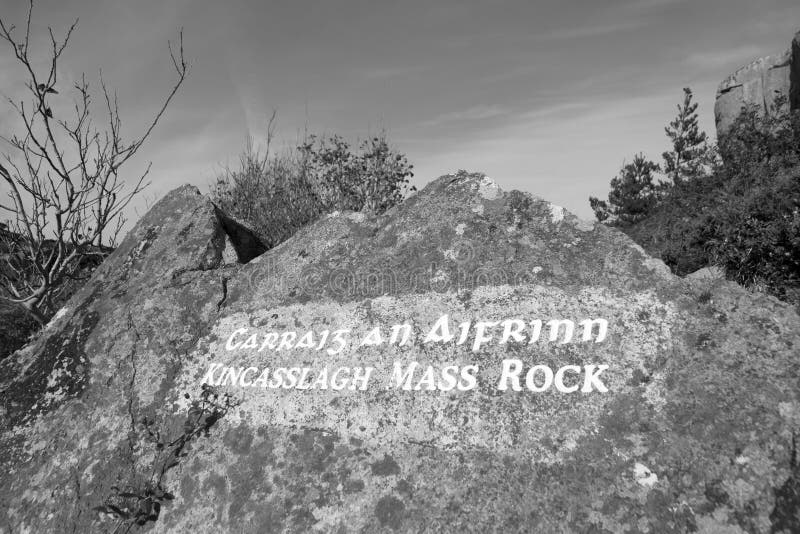 Mass-rock in TevrinMass-rock · 177 yd
 Chapel in ruinsChapel · 490 yd
 Hachured, RathmoreFairy fort / earthen ringfort · 658 yd
 Saint Joseph's Catholic Churchchurch/chapel · 800 yd
 OutlinedCastle, unclassified · 1.2 mi
 Site of Fennor CastleCastle, tower house · 1.6 mi
 GinkgoGinkgo · 1.7 mi
 KnockeyonMountain / peak · 5.4 mi
 The FurzeForest · 6.2 mi
 Kells HillMountain / peak · 9.1 mi
 Croppies' GraveMemorial · 12 mi
 Enclosure in Killynan (pratt)Enclosure · 890 yd
Other information
Photo: Credit not shown in the picture search · Rights wording not checked; contact us if this picture should be removed