What is recorded here
Situated on a gentle N/NE-facing slope on the edge of a valley. A partly levelled oval enclosure (dims. 41m NW-SE; 55m SW-NE), defined by a low wide bank (Wth 4-5m; H 0.3m). There is a wide shallow fosse (Wth 4m) NW-E-SW while at W the bank is built on the edge of a steep stream valley.
From the National Monuments Service (Archaeological Survey of Ireland) record WI045-002
Places near here
Photo credits
- National Inventory of Architectural Heritage
- Jean-Pol GRANDMONT, Wikimedia Commons · CC BY 3.0
- en:User:Poccil (SVG file), Wikimedia Commons · Public domain
- Sitomon, Wikimedia Commons · CC BY-SA 2.0
- Malone0, Wikimedia Commons · CC BY-SA 4.0
- Sarah777, Wikimedia Commons · CC BY-SA 2.0
- 瑞丽江的河水, Wikimedia Commons · CC BY-SA 4.0
- Jonathan Billinger, Wikimedia Commons · CC BY-SA 2.0
 Enclosure in BallygriffinEnclosure · 883 yd
 Plattinstown HouseHouse · 1.0 mi
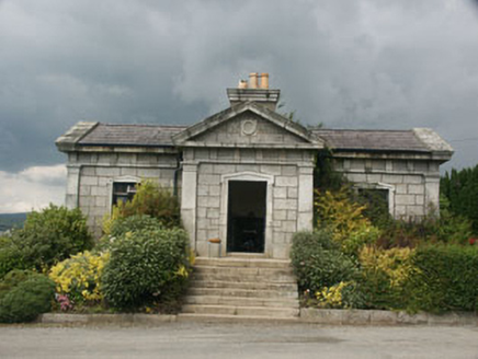 Saint Gabriel's CemeteryBuilding misc · 1.6 mi
 Tuliptree2.0 mi
 Battle of ArklowBattle · 2.0 mi
 European Yew2.1 miCastleCastle, unclassified · 2.2 miCastle (in ruin)Castle, Anglo-Norman masonry castle · 2.4 mi
 Grave Yard (Disused)Graveyard · 2.5 mi
 Arklow RockMountain / peak · 2.9 mi
 The CoveBeach / strand · 2.9 mi
 Croghan KinsellaMountain / peak · 4.7 mi
More archaeology and monuments in County Wicklow · All of County Wicklow
What do you know about this place?Tap to add a comment or ask a question