What is recorded here
In open, gently undulating, recently drained pasture, c. 300m S of the River Blackwater. The site is indicated on both the 1st (1838) and latest ed. (1911) of the OS 6-inch map as an enclosed rectangular area (dims. L c. 40m NW-SE; Wth c. 35m) which by 1911 contained trees. According to the landowner, the area was cleared in the 1970's, and there is no visible surface trace of the feature (SMR file). It may have been a moated site which was subsequently landscaped: compare KD004-032----, and see KD004-012---- and KD004-030----.
Compiled by: Gearóid Conroy
Date of upload: 10 June 2011
The monument record does not grant public access. Check the route and ask the landowner before entering private land.
- What survives
- Recorded monument
Places near here
 Enclosure in DysartEnclosure · 954 yd
 Fuaran WellHoly well · 1581 yd
 Site of Dunfierth CastleCastle, unclassified · 1598 yd
 Dunfierth ChurchChurch · 1674 yd
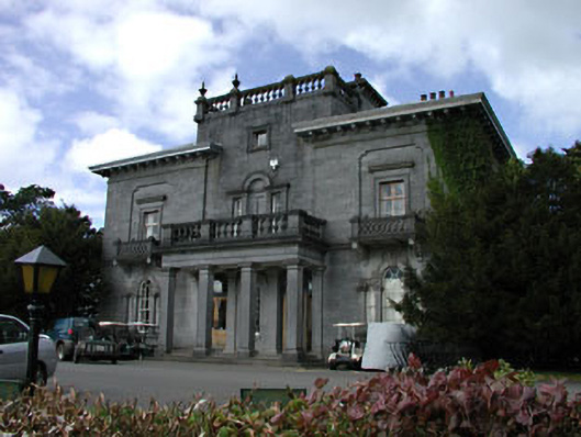 Knockanally Housecountry house · 1.3 mi
 Cloncurry GraveyardHeritage attraction · 1.7 mi
 European ashEuropean ash · 1.7 mi
 Cloncurry MoatCastle, motte · 1.7 mi
 Old Bog Road made famous by Teresa Bryton 1868-1943Memorial · 2.8 mi
 The Grill ShackHeritage attraction · 2.8 mi
 9/11 MemorialMemorial · 4.3 mi
 Loughtown CovertWood · 5.7 mi