What is recorded here
Located on a rise on a NE-facing slope, with the headwaters of a small SE-NW stream c. 50m to the SW. It is depicted only on the 1907 edition of the OS 6-inch map as a D-shaped enclosure defined by field walls. This is an oval grass-covered area (dims 28.5m N-S; 22.5m E-W) defined by a grass-covered stone spread (Wth c. 4m; int. H c. 0.2m; ext. H 1.2-1.5m) but no facing stones are identified. The original entrance is not recognised, but the perimeter is slightly clipped by a NW-SE field wall at SW.
The above description is derived from the published 'Archaeological Inventory of County Monaghan' (Dublin: Stationery Office, 1986). In certain instances the entries have been revised and updated in the light of recent research.
Date of revision: 21 June 2018
The monument record does not grant public access. Check the route and ask the landowner before entering private land.
- What survives
- Recorded monument
Places near here
 IndicatedFairy fort / earthen ringfort · 421 yd
 LattacrossanMountain / peak · 899 yd
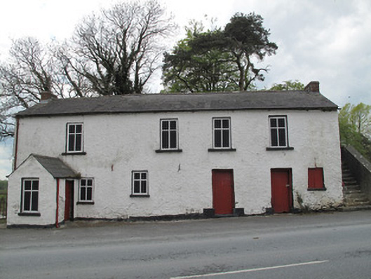 Scotshouse National Schoolschool · 1043 yd
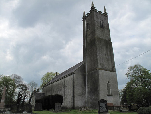 Saint Andrew's Church (Currin)church/chapel · 1105 yd
 Worm Ditch or Black Pigs RaceArchaeological place · 1519 yd
 The Beech WoodWood · 1.1 mi
 The Dark WoodWood · 1.1 mi
 CallowhillMountain / peak · 1.2 mi
 Drumcarn Ho.Castle, unclassified · 3.1 mi
 Ulster Canal Stores Visitor CentreHeritage attraction · 4.4 mi
 Abbey RuinsHeritage attraction · 4.5 mi
 Bawn in KillyfanaBawn · 4.6 mi