What is recorded here
In pasture, on a S-facing slope, overlooking the valley of the Laune River. This rectangular children's burial ground (26m E-W; 15m N-S) is indicated on the 1895 OS 6-inch map by a dotted line. The ruins of Dungeel Church (KE057-064----) are indicated on the same map, immediately inside the N boundary of the burial ground. The intermittent remains of a scarp (H 0.1-0.3m) is evident on the S and W sides of the burial ground, where the dotted line is indicated on the 1895 OS 6-inch map. A farm trackway crosses the burial ground on an E-W axis. A D-shaped kerbed area (2m N-S; H 0.35m) with a straight N side (L 3.4m) abuts the S wall of the church and is immediately N of the trackway. The remains of three roughly D-shaped raised areas (dims. of the largest: 7m E-W; 5.5m N-S; H 0.2m; dims. of the smallest: 3.6m E-W; 3m N-S; H. 0.45m) defined by kerbing and a scarp, occur immediately to the S of the trackway. According to Dennehy (1997, 159), these areas are believed to be the remains of the 'ceallúnach' which was last used 40 years ago for the burial of stillborn and unbaptised children, burials taking place here during the night.
In pasture, on a S-facing slope, overlooking the valley of the Laune River. This rectangular children's burial ground (26m E-W; 15m N-S) is indicated on the 1895 OS 6-inch map by a dotted line. The ruins of Dungeel Church (KE057-064----) are indicated on the same map, immediately inside the N boundary of the burial ground. The intermittent remains of a scarp (H 0.1-0.3m) is evident on the S and W sides of the…
From the National Monuments Service (Archaeological Survey of Ireland) record KE057-064001
The monument record does not grant public access. Check the route and ask the landowner before entering private land.
- What survives
- Recorded monument
Places near here
Photo credits
- National Inventory of Architectural Heritage
- Mike Searle, Wikimedia Commons · CC BY-SA 2.0
- Ridiculopathy, Wikimedia Commons · CC BY-SA 4.0
- User:Itub, Wikimedia Commons · CC BY-SA 3.0
- Berthold Strucken, Wikimedia Commons · CC BY-SA 4.0
- Wayne77, Wikimedia Commons · CC BY-SA 3.0
- Sitomon, Wikimedia Commons · CC BY-SA 2.0
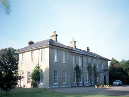 The ReeksCountry house · 1.8 mi
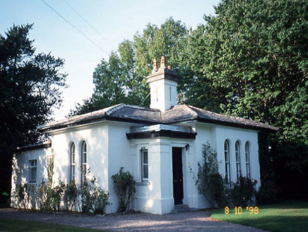 The ReeksGate lodge · 1.8 mi
 Ballymalis Castle (in ruins)Castle, tower house · 2.0 mi
_-_geograph.org.uk_-_1392760.jpg/250px-Castles_of_Munster,_Ballymalis,_Kerry_(3)_-_geograph.org.uk_-_1392760.jpg "Photo: Mike Searle, Wikimedia Commons · CC BY-SA 2.0") Ballymalis CastleCastle · 2.0 mi
Ballymalis CastleCastle · 2.0 mi Ogham stone in Kilcoolaght EastOgham stone · 2.1 mi
 Ogham stone in Kilcoolaght EastOgham stone · 2.1 miClash IslandIslet · 2.1 miCloon IslandIsland · 2.1 mi
 King Puck statueMemorial · 2.2 mi
.jpg/250px-Dunloe_(Ogham_Stones).jpg "Photo: Berthold Strucken, Wikimedia Commons · CC BY-SA 4.0") Dunloe Ogham StonesHeritage attraction · 4.9 mi
Dunloe Ogham StonesHeritage attraction · 4.9 mi Japanese pagoda tree5.1 mi
 European Yew5.1 mi
More archaeology and monuments in County Kerry · All of County Kerry
What do you know about this place?