What is recorded here
In pasture, located on an ESE-facing slope. The shoreline lies 120m to E. This enclosure is not shown on the 1838 OS 6-inch map, but is indicated on the 1920 edition. It consists of a slightly raised oval area (22.4m NNW-SSE; 13.8m ENE-WSW) enclosed by a low narrow bank (Wth 1.3m; int. H 0.4m; ext. H 0.4m) of earth and stone. There is no clearly defined entrance.
From the National Monuments Service (Archaeological Survey of Ireland) record MA043-009
The monument record does not grant public access. Check the route and ask the landowner before entering private land.
- What survives
- Recorded monument
Places near here
Enclosure in Dún IbhirEnclosure · 680 yd water pump1107 ydpost box1292 ydInis BigilIsland · 1.6 miCillín MemorialMemorial · 2.2 miGolden StrandBeach / strand · 2.2 miWild Atlantic Way:Visitor information · 2.3 miInishaghooIslet · 2.4 miHouseHouse, fortified house · 3.3 miDoogort BeachBeach / strand · 3.4 miIndicatedCrannog · 3.7 miSlievemoreMountain / peak · 4.8 mi
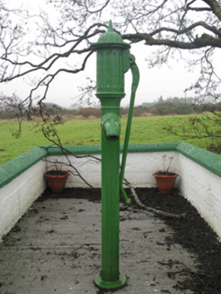 water pump1107 yd
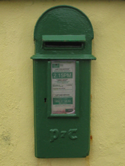 post box1292 yd
 Inis BigilIsland · 1.6 miCillín MemorialMemorial · 2.2 mi
 Golden StrandBeach / strand · 2.2 mi
 Wild Atlantic Way:Visitor information · 2.3 miInishaghooIslet · 2.4 mi
 HouseHouse, fortified house · 3.3 mi
 Doogort BeachBeach / strand · 3.4 mi
 IndicatedCrannog · 3.7 mi
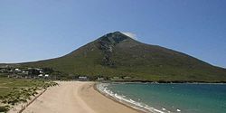 SlievemoreMountain / peak · 4.8 mi
Pictures: National Inventory of Architectural Heritage; Jed Revans, Wikimedia Commons · CC BY-SA 4.0; N Chadwick, Geograph · CC BY-SA 2.0; dougf, Geograph · CC BY-SA 2.0; John Lucas, Geograph · CC BY-SA 2.0; Night of the Big Wind, Wikimedia Commons · CC BY-SA 3.0 nl; Turkishbob at English Wikipedia, Wikimedia Commons · CC BY 2.5
More archaeology and monuments in County Mayo · All of County Mayo
What do you know about this place?