What is recorded here
Marked 'Fort' on the 1st and 2nd editions of the OS 6-inch maps. The monument has been totally obliterated by use as a graveyard (DG031-005001-), and only the curving outline to the N, E and S survives to suggest the presence of a ringfort. It is situated on a plateau, overlooking Lough Foyle, with a steep rise behind.
The above description was derived from the 'Archaeological Survey of County Donegal. A description of the field antiquities of the County from the Mesolithic Period to the 17th century.' Compiled by: Brian Lacey with Eamon Cody, Claire Cotter, Judy Cuppage, Noel Dunne, Vincent Hurley, Celie O'Rahilly, Paul Walsh and Seán Ó Nualláin (Lifford: Donegal County Council, 1983). In certain instances the entries have been revised and updated.
Date of upload: 22 September 2008
The monument record does not grant public access. Check the route and ask the landowner before entering private land.
- What survives
- Recorded monument
Places near here
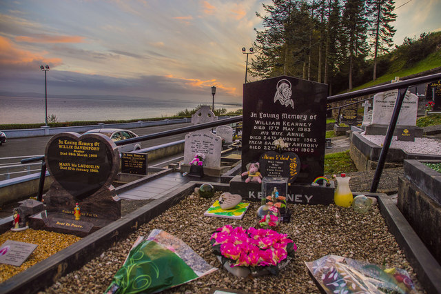 Drung GraveyardBurial ground · 1 yd
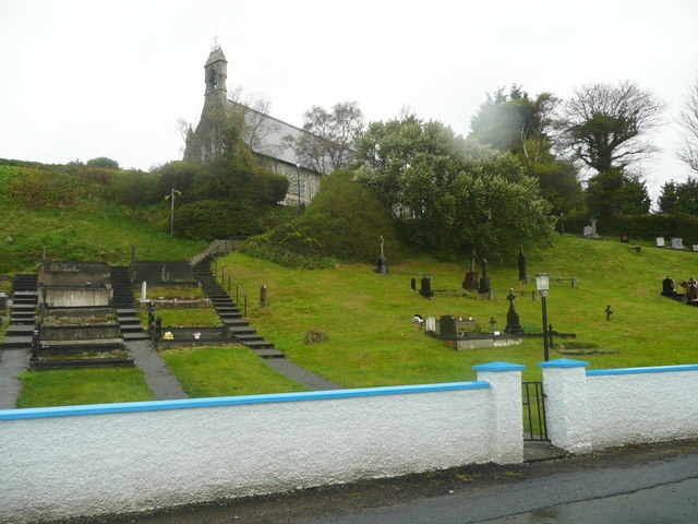 Church of St. Columbachurch/chapel · 45 yd
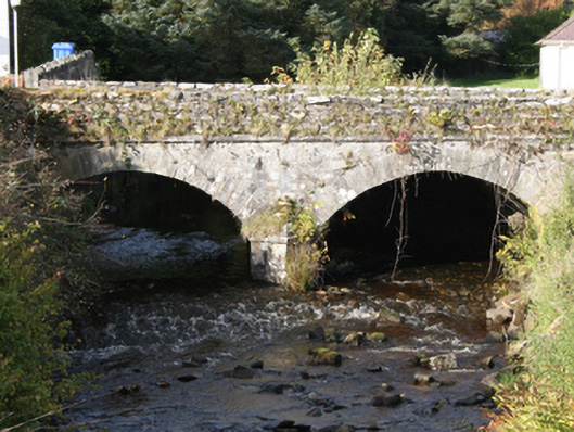 Drung Bridgebridge · 93 yd
 Ballyargus Rock-Banked Fairy FortFairy fort / earthen ringfort · 962 yd
 Site of Red CastleCastle, unclassified · 1.4 mi
 Quigley's PointHeadland · 2.2 mi
 CroaghmoreMountain / peak · 2.6 mi
 Castle CaryCastle, unclassified · 2.8 mi
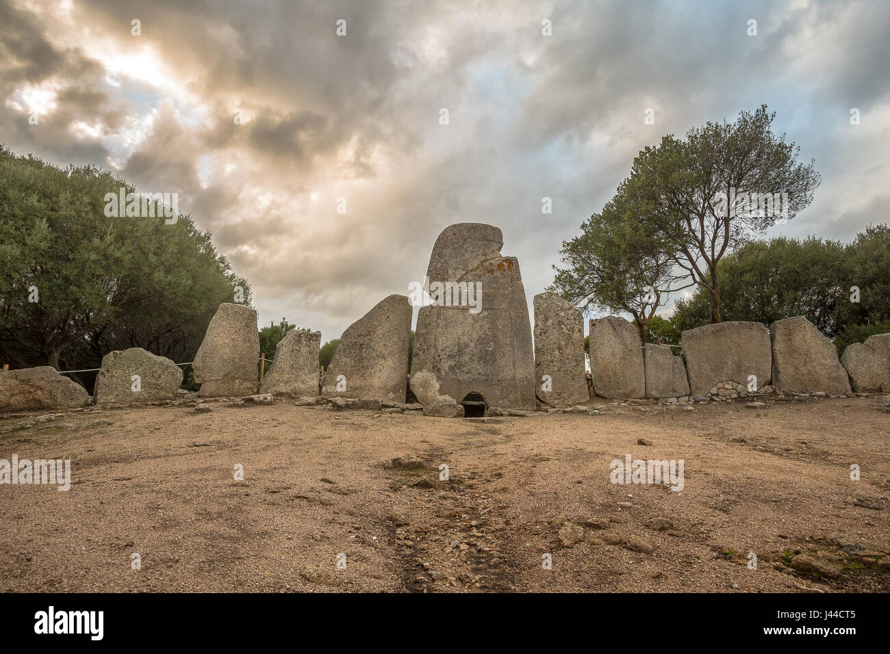 Giant's GraveArchaeological place · 3.3 mi
 CrockavishaneMountain / peak · 3.9 mi
 Cooley CrossMemorial · 4.6 mi
 Muff ForestWoodland walk · 7.3 mi