What is recorded here
Located towards the top of the NE-facing slope of a drumlin. A triangular enclosure is depicted on the 1835 edition of the OS 6-inch map on the SW side of a NW-SE farm lane, and it is depicted as a D-shaped enclosure on the 1907 edition. This is now a small triangular area (dims c. 15m x c. 15m) planted with trees.
Compiled by: Michael Moore
Date of upload: 14 October, 2019
The monument record does not grant public access. Check the route and ask the landowner before entering private land.
- What survives
- Recorded monument
Places near here
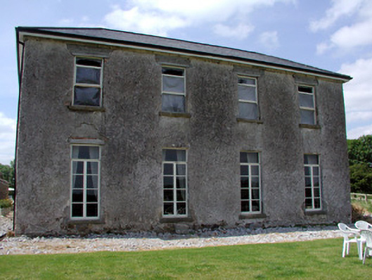 Kilbrackan Housecountry house · 1246 yd
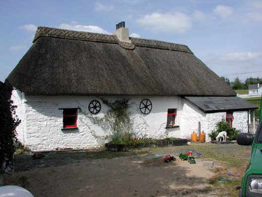 Homelyfarm house · 1393 yd
 Kilnamarve ForestForest · 1490 yd
 King's GraveArchaeological place · 1673 yd
 Mass-rock in Annagh (carrigallen By.)Mass-rock · 1751 yd
 Drumergoole WoodForest · 1.1 mi
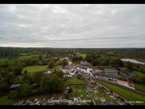 Enclosure in DrumhalryEnclosure · 1.3 mi
 DrumbreanlisMountain / peak · 1.6 mi
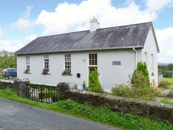 CorlisbrattanMountain / peak · 2.4 mi
 Killeshandra Irish Countrywomen's Association 70th AnniversaryMemorial · 4.2 mi
 Crane IslandIslet · 4.9 mi
 BatteryBawn · 4.9 mi