What is recorded here
In pasture, on top of a drumlin with a commanding view. This rath is not visible at ground level. It was indicated on the 1838 OS 6-inch map as a D-shaped enclosure (dims. c. 30m NE-SW; straight NE side L c. 30m NNW-SSE). On the 1942-43 OS 6-inch map it was indicated as a subrectangular area (c. 40m NE-SW; c. 40m NW-SE) defined by a curving field boundary N-NE, by a curving scarp NE-SSW, by two short linear field boundaries which form a W corner and by a hachured bank NW-N. There is a Man-made underground passage (SL044-023002-) in the interior.
From the National Monuments Service (Archaeological Survey of Ireland) record SL044-023001
Places near here
Photo credits
- National Inventory of Architectural Heritage
- Mike Searle, Wikimedia Commons · CC BY-SA 2.0
- Jon Sullivan, Wikimedia Commons · CC0
- Oliver Dixon, Geograph · CC BY-SA 2.0
- Wikimedia Commons contributor · CC BY 2.5
- Aiden Clarke, Wikimedia Commons · CC BY-SA 2.0
- Jon Sullivan, Wikimedia Commons · Public domain
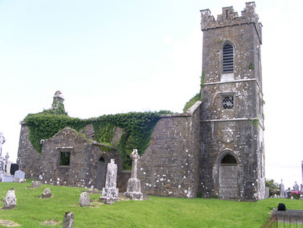 Gorteen Church (Kilfree)Church/chapel · 1.7 mi
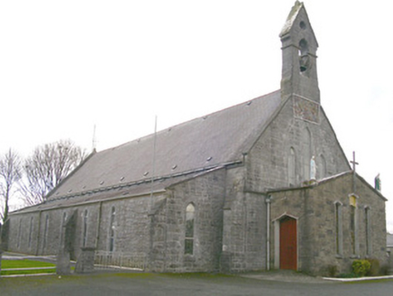 Saint Patrick's Catholic ChurchChurch/chapel · 1.8 mi
_-_geograph.org.uk_-_4073636.jpg/250px-Castles_of_Connacht,_Moygara,_Sligo_(2)_-_geograph.org.uk_-_4073636.jpg "Photo: Mike Searle, Wikimedia Commons · CC BY-SA 2.0") Moygara Castle (in Ruins)Bawn · 2.6 mi
Moygara Castle (in Ruins)Bawn · 2.6 mi_-_geograph.org.uk_-_4073628.jpg/250px-Castles_of_Connacht,_Moygara,_Sligo_(1)_-_geograph.org.uk_-_4073628.jpg "Photo: Mike Searle, Wikimedia Commons · CC BY-SA 2.0") Moygara CastleCastle · 2.6 mi
Moygara CastleCastle · 2.6 mi Caves of KeshCave · 3.6 mi
 Crow IslandIslet · 4.0 mi
 Kesh CorannMountain / peak · 4.0 mi
 Curlew MountainsMountain / peak · 4.2 miSchool CaveCave · 4.5 miInch IslandIslet · 4.5 mi
 ToberaraghtHoly well · 5.0 mi
 Carrowkeel neolithic siteArchaeological place · 5.3 mi
More archaeology and monuments in County Sligo · All of County Sligo
What do you know about this place?