What is recorded here
Indicated is a vanished fairy fort in County Mayo, Ireland. It stood as a circular embanked enclosure about twenty-five metres wide on a rise above rolling pasture. The land has since been levelled, erasing the visible trace while the name and shape remain remembered.
In improved rolling pasture, located on rise. This rath is shown on the 1838 and 1930 OS 6-inch maps as a circular embanked enclosure (diam. c. 25m). It has been levelled; there is no visible surface trace at ground level.
Compiled by: Jane O’Shaughnessy
Date of upload: 1 April 2020
The monument record does not grant public access. Check the route and ask the landowner before entering private land.
- What survives
- Recorded monument
Places near here
 IndicatedFairy fort / earthen ringfort · 369 yd
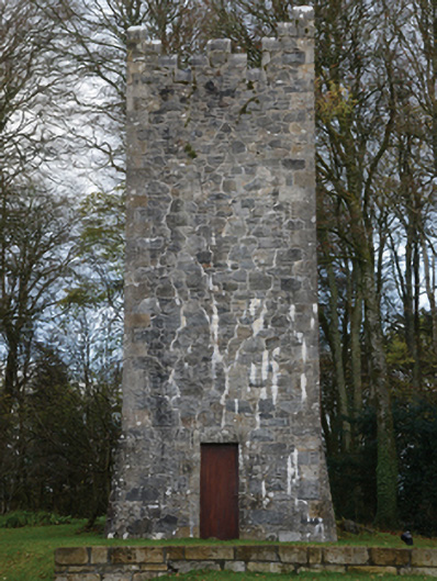 Mount Falconbuilding misc · 433 yd
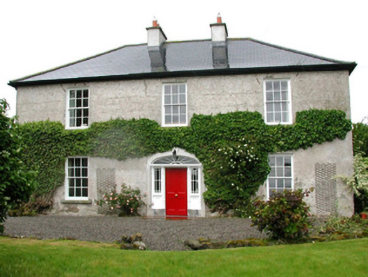 Barnfield Housefarm house · 1308 yd
 Enclosure in CorroyEnclosure · 1369 yd
 Gull IslandIslet · 1688 yd
 Castle (in ruins)Castle, unclassified · 1.0 mi
 Cloghans CastleCastle, tower house · 2.1 mi
 Battle of Ballinabattle · 4.0 miHumbert MonumentMemorial · 4.0 mi
 Drummin ForestForest · 4.8 mi
 Cliff IslandIslet · 4.8 mi
 Lough CullinViewpoint · 5.0 mi