
What is recorded here
In pasture, located on an E–facing slope, providing very good views over rolling pastureland N–SE.
This rath is shown on the 1838 OS 6-inch map as a circular embanked enclosure, with the bank at W incorporated into N–S field boundary, and on the 1930 edition as a D-shaped enclosure with the straight side at W formed by a N–S field boundary.
This rath, originally circular in plan, survives as a raised D-shaped platform (31m N–S; 19m E–W to fence) enclosed on the curving side NNW-S by remnants of an earth and stone bank, and on the straight side at W by a N-S field fence. The W third of the rath has been levelled. The surviving arc of bank is largely reduced to a scarp, with a low, stony internal rim, but it has a pronounced external slope (Wth slope 2.5-3.5m; ext. H 1.5m at E, 1.7m at NE), enhanced by the natural fall of ground. There is a break/low area (Wth 2.8m) in the bank/scarp at SE, possibly the site of an original entrance. The interior is built up to create a level area, compensating for the natural slope, but still retains a slight slope down from centre to E. Low, tumbled remnants of an E–W drystone field wall extend across the N half of the interior. Field clearance stones are piled up along the line of the bank, which is ringed with hawthorn and blackthorn trees.
Compiled by: Jane O’Shaughnessy
Date of upload: 1 April 2020
The monument record does not grant public access. Check the route and ask the landowner before entering private land.
- What survives
- Recorded monument
Places near here
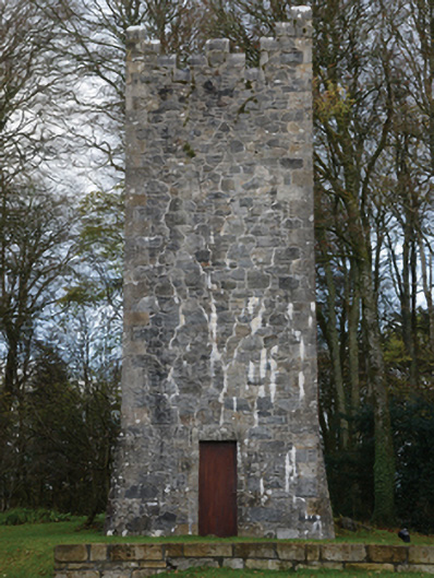 Mount Falconbuilding misc · 790 yd
 Enclosure in CorroyEnclosure · 1000 yd
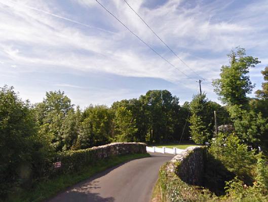 bridgebridge · 1114 yd
 Gull IslandIslet · 1341 yd
 Castle (in ruins)Castle, unclassified · 1.1 mi
 Cloghans CastleCastle, tower house · 1.9 mi
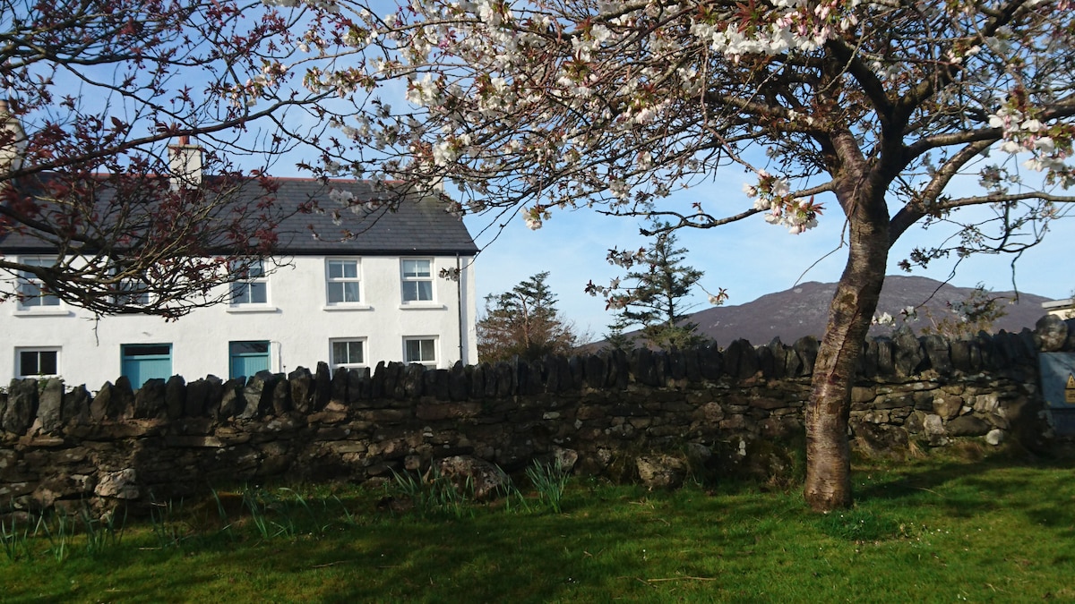 ToberbrideHoly well · 1.9 mi
 Battle of Ballinabattle · 3.9 miHumbert MonumentMemorial · 4.0 mi
 Roe IslandIslet · 4.7 mi
 Drummin ForestForest · 4.9 mi
 Titanic Memorial ParkMemorial · 6.6 mi
Other information
Photo: Credit not shown in the picture search · Rights wording not checked; contact us if this picture should be removed